Spatial Services is responsible for maintaining the University’s spatial data. Spatial Services utilizes the Net-FM™ web-based CAFM system and the Visual-FM™ floorplan integration software from INSITE to maintain the interior space inventory data. Outdoor spatial data is maintained in the Esri suite of mapping and spatial analytics software. Spatial Services is in the early implementation […]
Continue reading "Spatial Services"Category: Space
University Space Planning
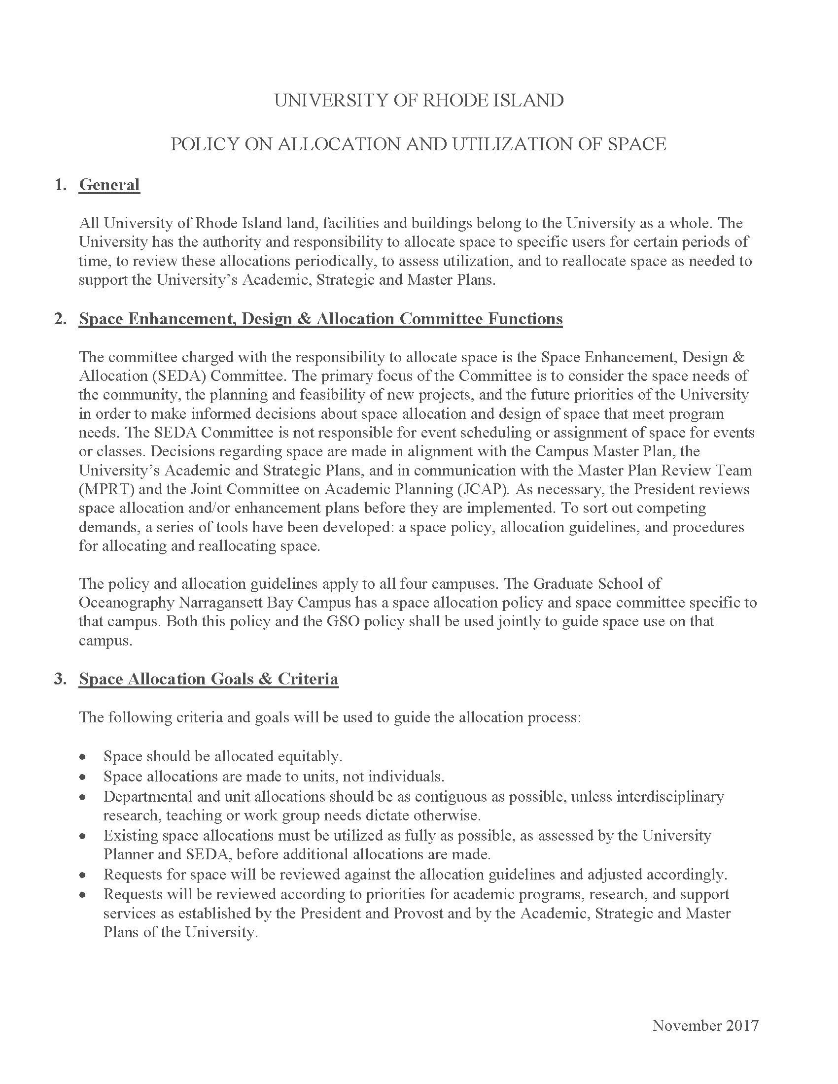
University facilities and buildings constitute a limited resource to be managed for the benefit of the University of Rhode Island as a whole. Through the administrative structures outlined in the University Manual (5.41.10 and 5.41.11), the Space Allocation Committee (SAC) considers the space needs of the University community and provides recommendations regarding space allocations. These […]
Continue reading "University Space Planning"University Policy On Allocation and Utilization of Space
All University of Rhode Island land, facilities, and buildings belong to the University as a whole. The University has the authority and responsibility to allocate space to specific departments for definite periods of time, to review these allocations periodically, to assess utilization, and to reallocate space as needed.
Continue reading "University Policy On Allocation and Utilization of Space"University Procedure for Requesting Space
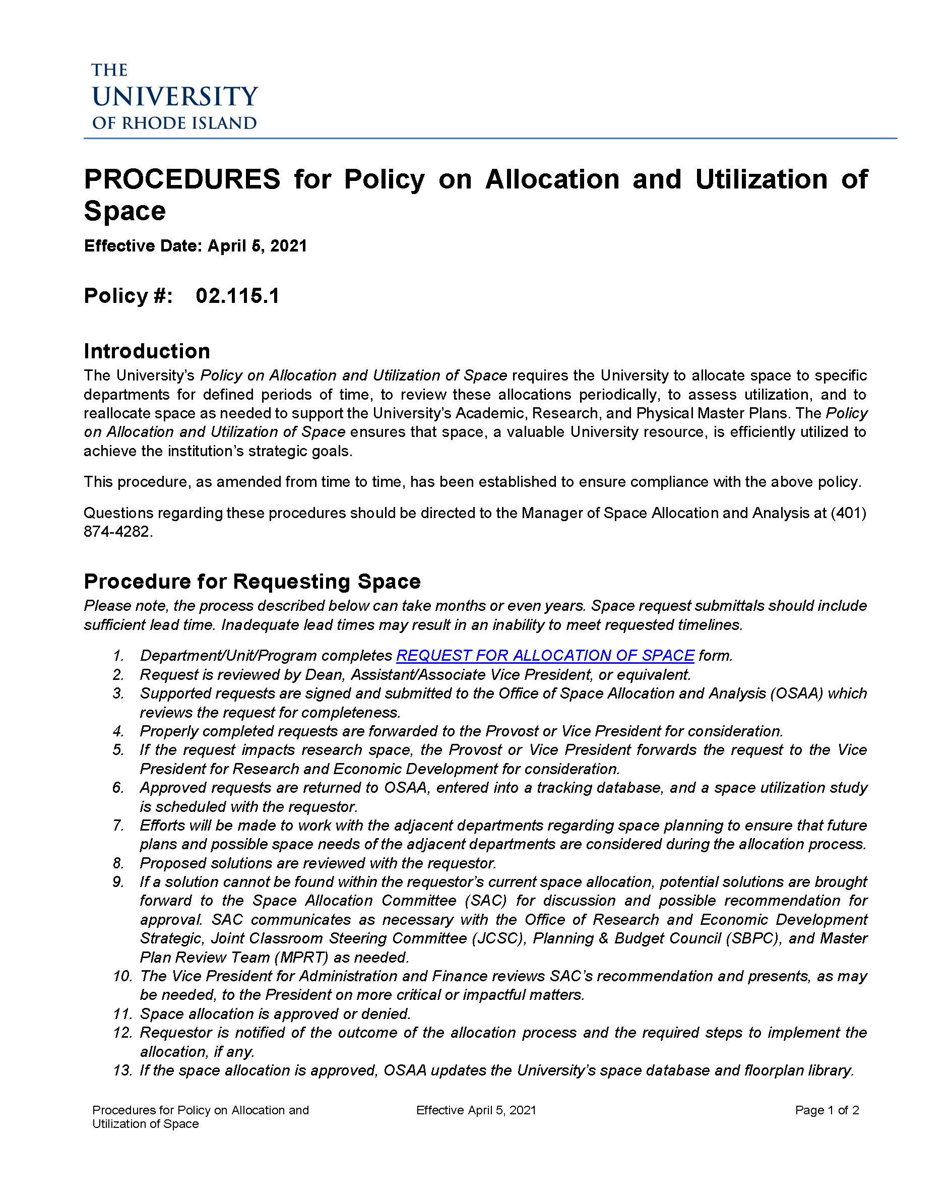
The University’s Policy on Allocation and Utilization of Space requires the University to allocate space to specific departments for defined periods of time, to review these allocations periodically, to assess utilization, and to reallocate space as needed to support the University’s Academic, Research, and Physical Master Plans. The Policy on Allocation and Utilization of Space […]
Continue reading "University Procedure for Requesting Space"University Space Request Form
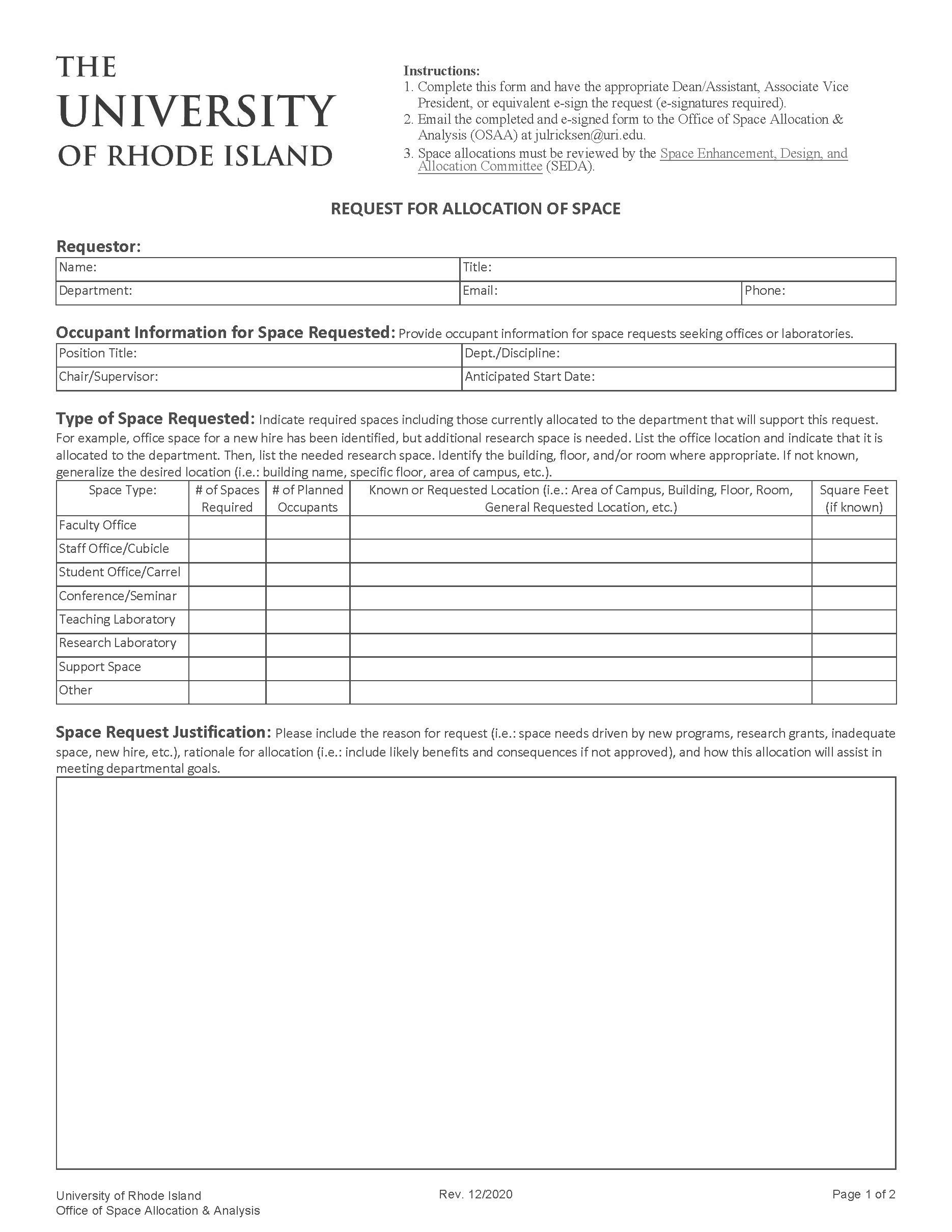
Complete this form and have the appropriate Dean/Assistant, Associate Vice President, or equivalent e-sign the request (e-signatures required). Then email the completed and e-signed form to the Office of Spatial Services (OSS) at julricksen@uri.edu.
Continue reading "University Space Request Form"University Policy on Building Address and Room Identification
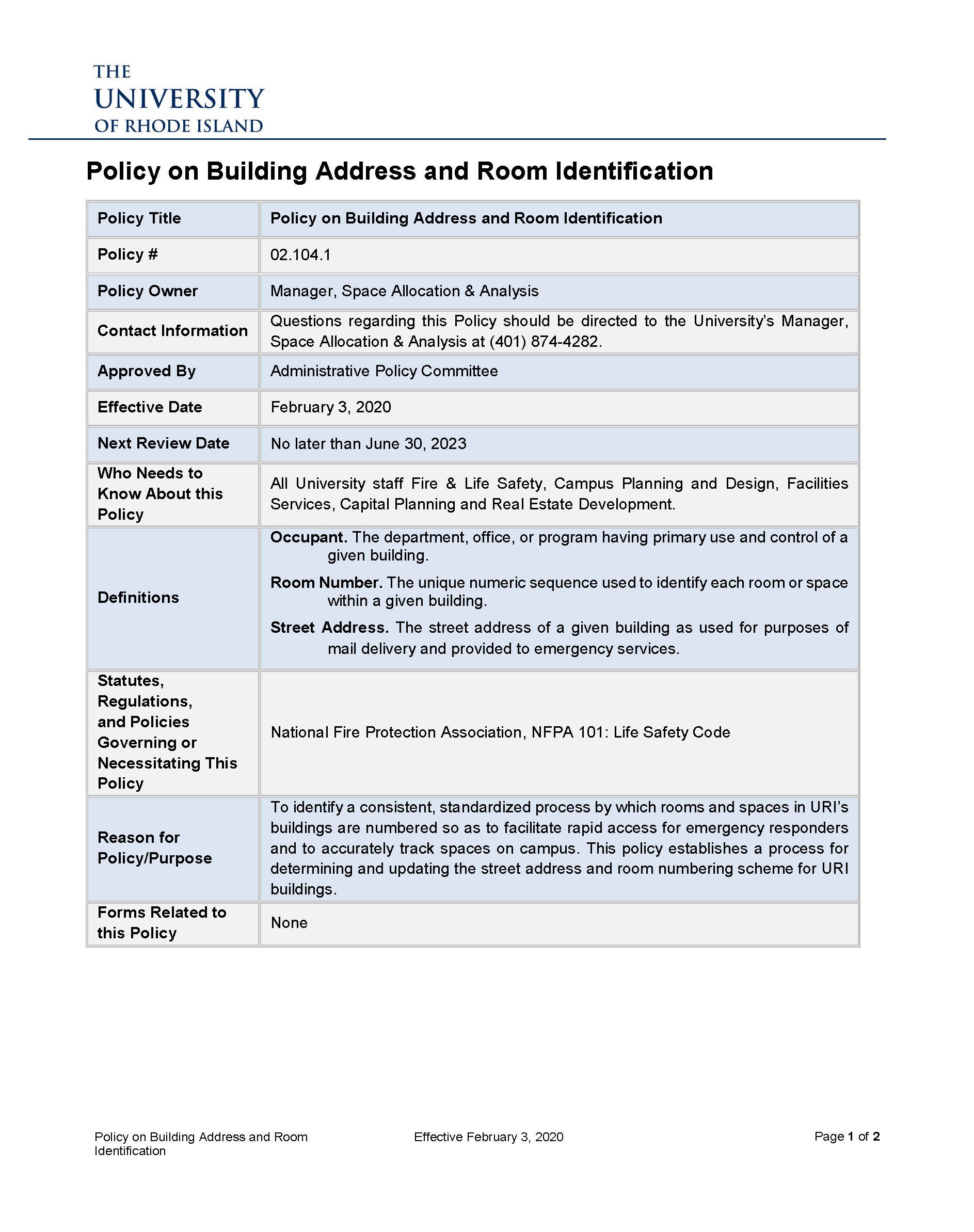
The official Street Address of every building on URI property shall be determined by the Office of Spatial Services (OSS) in consultation with the Department of Public Safety. Each room and space within every building on URI property shall be identified with a number that is consistent with numbering standards adopted by the University. No […]
Continue reading "University Policy on Building Address and Room Identification"


