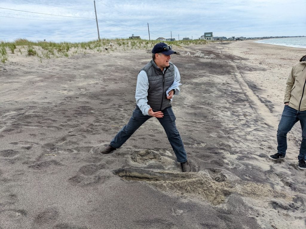
Management challenges resulting from storm events range from ecological to coastal defense to societal, and include shoreline erosion, dune migration, breaching, and alterations of ecosystem services; damage to cultural resources, including historic structures and archeological sites; emergency access and other maintenance needs from flood-water inundation; and damage to infrastructure including roads, bridges, seawalls, and parking lots. Providing improved, locally explicit projections of storm impacts in terms of quantified vulnerability metrics, in different management scenarios (e.g. no action versus targeted mitigations) will be valuable for developing efficient adaptation strategies into planning processes.
Engagement of stakeholders throughout the 4-year project is key to the success of this applied research project. The project team will interact with stakeholders at each site, and across the region. Park and refuge resource managers, municipal staff and decision makers, tribal nations, nonprofit organizations among others, will work with the project team to identify issues of concern, focus areas for investigation, input on mitigation strategies, and communication and interpretation approaches.

Hazard impact and coastal vulnerability assessment (Tier 1 sites). Visual impact maps and quantitative metrics addressing long-term changes in coastal vulnerability and community exposure will be developed, to compare the efficacy of without/with mitigation strategies (stakeholder-defined). Three components to be looked at: 1) coastal hazard exposure (e.g., inundation of shoreline areas, surge on structures, loss of habitat for piping plover); 2) sensitivity of the system to the storms/SLR (e.g., barrier beach breaching); and 3) adaptive capacity of the system to evolve over time with different storm/SLR and mitigation scenarios. These metrics will be used to compare the efficiency of the mitigation scenarios designed to increase the shoreline resilience.
Geomorphic, geologic and ecosystem-change investigations are critical to understanding coastal hazards, and ultimately to modeling and communicating their ramifications, is the measurement of important characteristics and processes to identify temporal and spatial relationships (e.g., topographic variability, vegetation, sediments and sedimentary processes). Targeted investigations will be conducted in two topical areas: 1) estuarine shorezone change (subaerial or subaqueous) related to human and environmental processes, and 2) ocean barrier dynamics with potential estuarine impacts, e.g., dune loss causing overwash/breaching.
