Post-Hurricane Sandy Salt Marsh Change Detection and Development of Salt Marsh Change Detection Protocol for the Northeast Coastal Parks
August 14, 2015
Project
Introduction
The “Post-Hurricane Sandy Salt Marsh Change Detection and Development of Salt Marsh Change Detection Protocol for the Northeast Coastal Parks,” a little too long for an acronym will be referred to as the project. The project is funded by the National Park Service, and Dr. Y.Q. Wang is the principle investigator. The project is a continuation of Dr. Wang’s past work in mapping salt marsh vegetation with High resolution satellite imagery in northeast coastal parks. The project is beginning with mapping and change analysis for Jamaica Bay, NY, with an eye towards expanding the methodology towards other coastal parks. The project focus is utilizing the latest methodologies to create a high accuracy map of Jamaica Bay’s salt marsh islands. This webpage will discuss developments and the basics of the project including project goals, the data, methods, and our field visit in August of 2015.
Project goals
Map Jamaica bay salt marsh vegetation extent and change due to hurricane SandyComparison between Worldview-2 pre and post-storm imagery
Develop a new protocol that utilizes the additional bands of the worldview-2 sensor system and ancillary data to reach the best classification accuracy possible
Create a replicable protocol that can be utilized in subsequent years to continue mapping and understanding Jamaica Bay and other coastal national parks salt marsh vegetation
Understand the new spectral resolution available in Worldview-2 data and its applicability to mapping difficult Land cover classes
Data
Worldview-2 and Quickbird scenes of bother satellite were collected on approximately annual collectionWorldview-2 band width.dates before and after Hurricane sandy in September 2012 and September 2013.
Both are high spatial resolution sensor systems Worldview-2 has slightly higher spatial resolution and four additional spectral bands including Coastal Blue, Yellow, Red Edge, and NIR 2
Quick bird has lower spatial resolution and only four spectral bands, but is the sensor system from which past mapping of Jamaica Bay has been conducted.
Methods
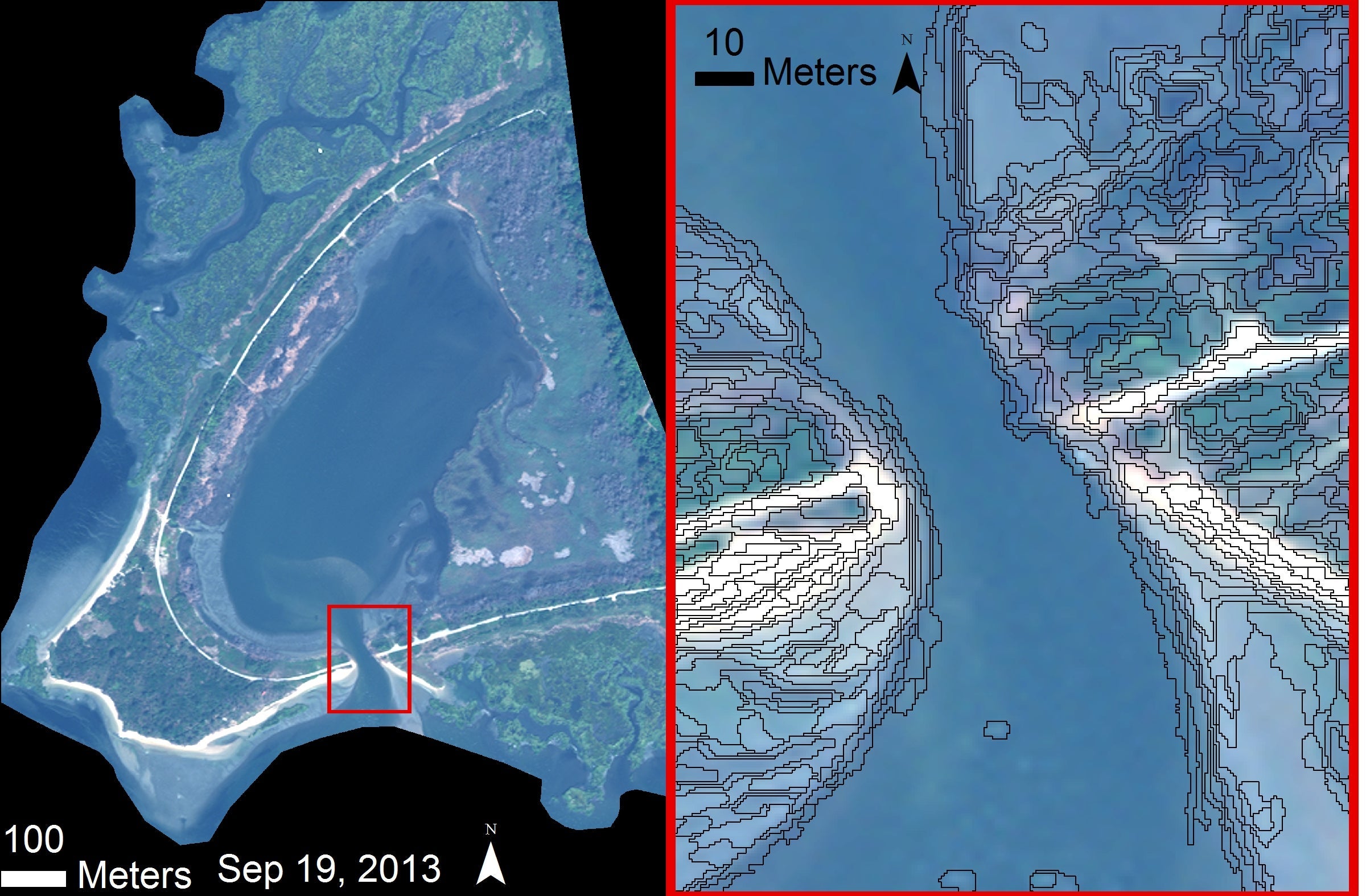
Object-based – a methodology that has been shown to perform with high accuracy especially in heterogeneous landscapes, and high spatial resolution. The method allows for use of ancillary data which can also benefit our classification accuracy.
Conduct pixel based to compare – Comparing the two methods is an important to understand the benefits and limitations of the methodologies.
Land cover – The analysis is evaluate the possible classes of land cover. Past studies had a narrow focus on the salt marsh vegetation. Due to the impact of hurricane sandy extending past the salt marsh into other areas of the park additional categories are being considered for inclusion. Potential land cover classes include Forest, Phragmites, Spartina alterniflora dense and sparse cover, Spartina patens, sand, mudflat, peat, shadow and water.
Mean shift segmentation
Machine learning algorithms – Machine learning has been shown to produce highly accurate classification results, and for this reason will be evaluated in this study. The classifications are implemented in the R statistical environment, with the Caret Package.
SVM – Support vector machines
RF –Random forest
Stochastic Gradient Boosting
Field Visit
Field work
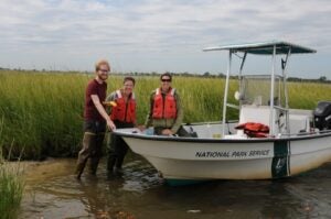
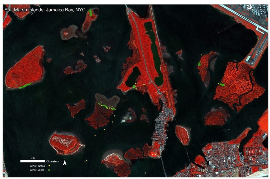
We visited Jamaica Bay, NY in August of 2015 to collect GPS data for land cover areas of interest. That data combined with Geo-located photographs and additional photographs was taken. The locations of these points can be seen in the map below. Our field data collection would not of been possible with out the assistance of park staff who made the field work a great success.


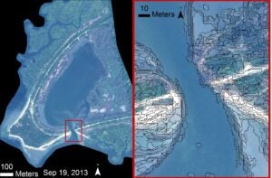 Object-based – a methodology that has been shown to perform with high accuracy especially in heterogeneous landscapes, and high spatial resolution. The method allows for use of ancillary data which can also benefit our classification accuracy.