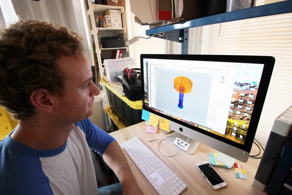
PROVIDENCE, R.I.—Stewart Copeland has been a webmaster, documentary filmmaker, and even a touring musician over the past 10 years. Now, the Tennessee native is developing 3D models of sensor buoys which comprise the integrated Bay Observatory, a new array of equipment to monitor the ecological changes of Narragansett Bay.
“I grew up an hour south of Nashville, and I’m not a water person,” admits Copeland, a graduate student at the Rhode Island School of Design’s Edna Lawrence Nature Lab. “But I’m learning a lot about the ocean.”

The observatory, which is being deployed by the Rhode Island Consortium for Coastal Ecology Assessment, Innovation and Modeling (RI C-AIM), encompasses multiple marine research tools that will gather new data about Narragansett Bay’s ecosystems, from nutrient concentrations and phytoplankton populations to water circulation patterns.
But Copeland, alongside Neal Overstrom, a co-principal investigator for the consortium and the Nature Lab’s director, is working to visualize not the data collected from the observatory through 3D modeling, but these tools which make subsequent research possible.

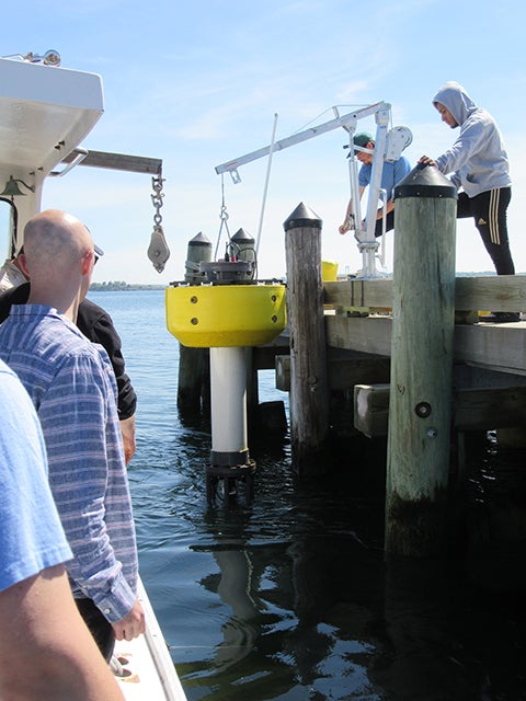
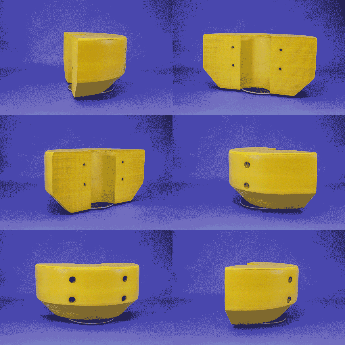
“We get way too used to aerial views, dots on a map showing a buoy’s placement,” the RISD student explains. “But passing by it on a boat, you see this yellow thing with solar panels on it. It has all this technology extending from its bottom, and then life grows on it.”
“That’s really exciting, and the challenge is showing more about the place itself from where all this data is coming.”
The buoys will be moored at specific locations in Narragansett Bay this coming spring. Overstrom likened the buoys to a Mars rover, a vehicle oftentimes drawing more interest as a sojourning machine than in the data it collects.
“These sensor buoys are entities in and of themselves, out there on Narragansett Bay day and night, through all kinds of weather,” he asserts. “The question for us is, how do virtual representations further inform what these buoys are doing above and beyond being critical platforms for data collection?”
Copeland is also working closely with Dr. Harold ‘Bud’ Vincent, lead researcher for RI C-AIM coordinating the installation of the Bay Observatory’s equipment.
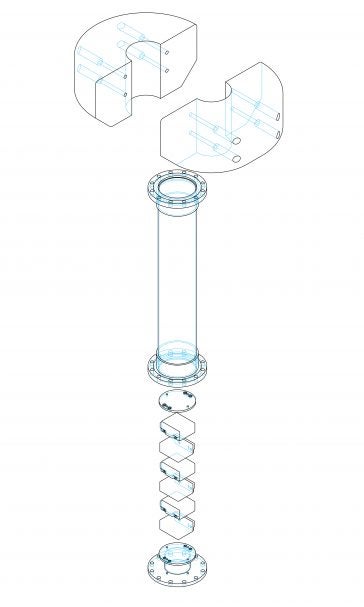
“3D models allow ocean engineers to do things such as assess the buoyancy and stability of a buoy prior to assembly and deployment into the water, and also visualize placement of the many component parts inside,” explains Vincent, associate professor of ocean engineering at the University of Rhode Island. “3D modeling offers a source of permanent documentation for future engineering changes.”

“We can share with the public what is happening “under the hood” of the buoys with the 3D models as well, which is a great opportunity for outreach.”
For Copeland, the test is utilizing current modeling technology to develop the most detailed 3D representations.
“When you start to rebuild an object digitally, you learn what 3D tools can and can’t do,” he says. “While I am trying to think about how the project can grow, I also want to generate 3D assets that are useful to all of the consortium.”
Funded by a $19 million grant from the NSF through EPSCoR, and also a $3.8 million state match, the consortium is a collaboration of engineers, scientists, designers and communicators from eight higher education institutions across the state—University of Rhode Island (lead), Brown University, Bryant University, Providence College, Rhode Island College, Rhode Island School of Design, Roger Williams University, and Salve Regina University—across the state developing a new research infrastructure to assess, predict and respond to the effects of climate variability on coastal ecosystems.
Working together with businesses and area communities, the consortium seeks to position Rhode Island as a center of excellence for researchers on Narragansett Bay and beyond.
For more information about the consortium and its researchers at institutions across the state, including URI, visit www.uri.edu/rinsfepscor.
Written by Shaun Kirby, RI C-AIM Communications & Outreach Coordinator

 RI NSF EPSCoR is supported in part by the U.S. National Science Foundation under EPSCoR Cooperative Agreements #OIA-2433276 and in part by the RI Commerce Corporation via the Science and Technology Advisory Committee [STAC]. Any opinions, findings, conclusions, or recommendations expressed in this material are those of the author(s) and do not necessarily reflect the views of the U.S. National Science Foundation, the RI Commerce Corporation, STAC, our partners or our collaborators.