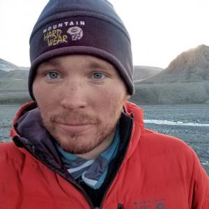
Mentor: Christopher Horvat, Brown University
Project Location
Brown University
Project Description

Launched in 2018, the ICESat-2 laser altimeter is an amazing platform for sampling Earth’s surface. It sends 6 individual laser pulses to the ground at a horizontal resolution of just centimeters, covering the world multiple times per day, allowing for an unprecedented look into changing surface types and rapidly-changing climate processes.
In the SURF project, we will hope to leverage two recent developments with ICESat-2: one for retrieving surface chlorophyll, and one for retrieving ocean surface wave energy, to investigate changing ecology and wave climate in coastal regions, like in Narragansett Bay or the peripheral seas of the Southern and Arctic Oceans. The student would learn to use satellite data, and interpret the cloud of returning photons to investigate changes to the color (for chlorophyll) or surface height (for waves), and develop an automated system that can detect changes to both for regions with near-real-time data.
Additional Information
- Dr. Horvat’s Research Page

 RI NSF EPSCoR is supported in part by the U.S. National Science Foundation under EPSCoR Cooperative Agreements #OIA-2433276 and in part by the RI Commerce Corporation via the Science and Technology Advisory Committee [STAC]. Any opinions, findings, conclusions, or recommendations expressed in this material are those of the author(s) and do not necessarily reflect the views of the U.S. National Science Foundation, the RI Commerce Corporation, STAC, our partners or our collaborators.