Our faculty engage in cutting-edge research and innovative creative work every day as they bring new ideas to our students and communities locally and globally. We’re pleased to continue this monthly spotlight series featuring our faculty’s work through a question-and-answer style article published every month during the academic year.
Featured work: Madison Jones, assistant professor of Writing and Rhetoric and Natural Resources Science, was awarded the 2022 CCCC Technical and Scientific Communication Award in the category of Best Article on Pedagogy or Curriculum in Technical or Scientific Communication for “Deep Mapping for Environmental Communication Design.” (January 2022)
Q: Can you give us a synopsis of “Deep Mapping for Environmental Communication Design”?
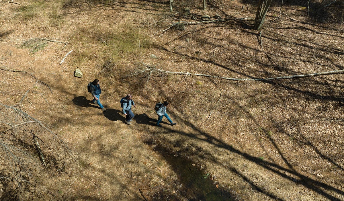
A. “Deep mapping for environmental communication design” shares lessons from designing and producing EcoTour, a student-led, multimedia environmental advocacy project that takes place in Paynes Prairie State Park in Gainesville, Florida. Through a method known as “deep mapping,” the project combines an augmented reality smartphone application with web mapping to produce a digital walking tour that documents the interconnections between the park’s colonial history and contemporary environmental threats. In practice, deep mapping combines geospatial data, qualitative research, and cultural information to communicate the many layers of meaning that participate in a sense of place. By revealing these different layers of place, this project helps people understand and situate big problems like climate change within the context of their local community. This article demonstrates the rhetorical potential of combining locative (or mobile) media with deep mapping and community-engaged design strategies to affect users, prompt action, and create more inclusive design strategies.
Q: How does this article fit in with your general research interests?
This article sits at the nexus of my research interests in the use of creative methods and digital platforms for science writing and environmental advocacy. In my academic work, I seek to develop the connections between spatial and ecological perspectives on environmental rhetoric and advocacy. I research the rhetoric of science through social, spatial, and historical perspectives, and I develop public environmental advocacy projects using place-based writing techniques and mobile media. In my creative work, I draw upon a sense of place to inform my eco-poetry. This project directly engages with socio-historical perspectives on place and environment by addressing the historical dimensions of our contemporary environmental crisis while also demonstrating some of the ways that colonial practices continue to shape our environments. Likewise, by offering both an augmented walking tour and a digital map, the project confronts how we engage with the concept of place, mapping, and memory.
Q: What surprised you when researching and writing this article?
We came into this project with the desire to make the connections between geography, colonial history, and the contemporary environmental threats the park faces visible. Yet, I was truly surprised by the many complexities of space and time that surfaced as we conducted fieldwork for this project. In the midst of producing the tour, Hurricane Irma made landfall in Florida, dumping millions of gallons of water onto the Alachua wetland area. Overnight, the prairie land transformed from a droughted savannah to a massive lake. On a geological timescale, this kind of flooding is a natural part of the cycles which restore and rejuvenate the prairie ecosystem, but it was quite stunning to see the geography change so drastically overnight. While the prairie historically goes through patterns of flooding and draining, this particular event was exacerbated by algal overgrowth, fueled in part by human impacts like fertilizer pollution, which hindered drainage. Likewise, the highway and interstate systems which cut through the prairie have, in turn, altered the hydro-geography. Likewise, scientists predict an increase of so-called “100 year” hurricanes due to climate change, and human impacts like roadways and tourism impact the local ecology to a larger degree today than in recorded history. It was a stunning example of how large-scale events like climate change are rewriting local ecologies and changing our sense of place.
Q: For those reading or otherwise engaging with your work, what do you hope is the main takeaway?
I hope that this article, and the larger project, demonstrates some of the important roles that place-based work can play in science and environmental communication. As a storytelling practice, deep mapping combines creative methods with qualitative research, socio-historical information, and geospatial data in ways which take us out of simple temporal frameworks and narratives. For this project, students and collaborators engaged in historical and ecological research; used cameras, drones, digital maps, smartphones and tablets, web design, app development; and approached the place through different kinds of storytelling. Engaging deeply with the rich social, historical, and ecological dimensions of Paynes Prairie brought important connections between colonialism and the ecological crisis to the fore in ways that would not have been visible with just one timescale, technology, or storytelling method. As such, deep mapping reveals how working with a variety of technologies, genres, and methods can add rich dimensions to our research and storytelling practices.