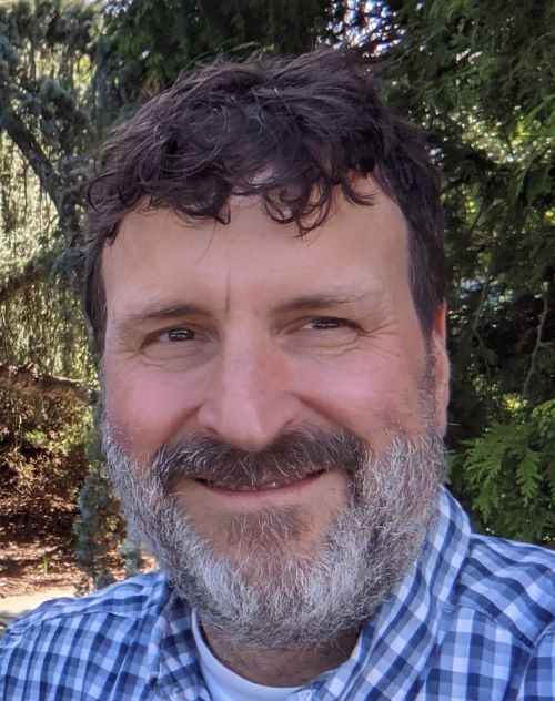
- Research Associate IV, Environmental Data Center
- Department of Natural Resources Science
- Phone: 401.874.5406
- Email: roland@edc.uri.edu
- Office Location: Coastal Institute, Office #28
Biography
Roland Duhaime is a Research Associate IV at the University of Rhode Island’s Department of Natural Resources Science, working within the Environmental Data Center.
Research
As a Research Associate IV at the University of Rhode Island’s Department of Natural Resources Science’s Environmental Data Center, my work encompasses using Geographic Information System (GIS) technology for the analysis of cultural and natural resources data. Typically, my interests have focused on dynamic visualization of complex spatial and scientific data in a 2-D and 3-D setting. In addition, I enjoy automating the processing of large data sets and finding better ways of sharing information using the Internet.
For over 30 years I have worked on GIS related projects for agencies such as the National Park Service (NPS), the National Oceanographic Atmospheric Administration, the Town of New Shoreham, and the National Aeronautics and Space Administration. Project topics include content creation and administrations of ArcGIS Online and NPS Portal; viewshed modeling; automated mapping vegetation using digital orthoimagery; and LiDAR data processing. Away from home, I have worked with a coastal management agency in Ecuador to establish a GIS to monitor mangrove forests and I have trained geologists from the Azores, Portugal on how to use GIS to model areas vulnerable to landslides.
Current Projects
I am overseeing work done at The Field Technical Support Center for GIS (FTSC) at the University of Rhode Island. We provide GIS services and support to National Park Service (NPS) parks and offices throughout the Northeast Region (NER). The goal of this partnership between the NPS and URI is to foster research and education using GIS to support and promote natural and cultural resource preservation, recreation, and local/regional planning in partnership with state and local government agencies, as well as nonprofit conservation and historic preservation organizations. The FTSC provides an arena for land management agencies and organizations to coordinate data collection and analysis on landscape scales and for researchers, students, land managers and planners to work together on issues related to this evolving technology and to learn from each other. Innovative applications, new data and procedure development methods, and technical forums provide researchers and students with opportunities to enhance their GIS skills using National Parks and other areas with complex land management issues as living laboratories.
In addition, I have been working with the URI TickEncounter Resource Center to administrate their TickSpotters system and analyze spatial and non-spatial data for public outreach and education. New project work includes data processing and analysis to support the distribution of muskrats, beavers, and otters in Rhode Island.
External Links
- Additional research details at Research Gate
- My ORCiD ID and information.
- My connection to the URI Coastal Institute
- Tick Encounter Resource Center
- My Linkedin
- A great organization to be a member of: Northeast Arc GIS User Group
Education
Master of Science, Natural Resources/Landscape Ecology, University of Rhode Island, Kingston, RI, (May 1994).
Bachelor of Science, Environmental Management, University of Rhode Island, Kingston, RI, (December 1990).
Selected Publications
- Kopsco, H.L., Duhaime, R.J. and Mather, T.N., An analysis of companion animal tick encounters as revealed by photograph‐based crowdsourced data. August 2021,Veterinary Medicine and Science, https://doi.org/10.1002/vms3.586
- Laga, A.C., Mather, T.N., Duhaime, R.J. and Granter, S.R., Identification of Hard Ticks in the United States: A Practical Guide for Clinicians and Pathologists, June 2021, The American Journal of Dermatopathology.
- Kopsco, H.L., Duhaime, R.J. and Mather, T.N., Crowdsourced Tick Image-Informed Updates to US County Records of Three Medically Important Tick Species, May 2021, Journal of Medical Entomology, https://doi.org/10.1093/jme/tjab082
- Kopsco, H., R. Duhaime, T. Mather, Assessing Public Tick Identification Ability and Tick Bite Riskiness Using Passive Photograph-Based Crowdsourced Tick Surveillance, November 2020, Journal of Medical Entomology, tjaa196, https://doi.org/10.1093/jme/tjaa196
- Tefft, E., G. Bonynge, R. Duhaime, A. Mandeville, A. Campbell, C. LaBash, S. Stevens, D. Skidds, M. Christiano, P. August, Mosaic Datasets and LiDAR Data: Quick Processing and Versatile Results. July 14, 2014, Esri International User Conference, San Diego, CA.
- Duhaime, R., Expediting the Deployment of the Google Earth Browser Plug-in, Open Layers, and Google Maps: A Suite of Sweet Tools. March 14-18, 2011. George Wright Society Conference on Parks, Protected Areas & Cultural Sites, New Orleans, Louisiana.
- Duhaime, R.J., N. J. Miller, B. Mullen, J. Y. Hervé, M. Dyer, and T. N. Mather. Tick Encounter© Risk Survey: Applications of a GIS in Tick-Bite Protection Outreach and Tick-Borne Disease Prevention Research. Poster presentation. June 5-8, 2009. URISA’s Second GIS in Public Health Conference, Providence, RI.
- Duhaime, R., Y.Q. Wang, Using the Google Earth Web Plug-in and ArcGIS to Display and Model Viewsheds Along the Appalachian Trail. April 8-12, 2012. U.S. Division of the International Association of Landscape Ecology, Newport, RI.
- Wang, Y., R. Nemani, F. Dieffenbach, K. Stolte, G. Holcomb, M. Robinson, C. Casey Reese, M. McNiff, R. Duhaime, G. Tierney, B. Mitchel, P. August, P. Paton, and C. LaBash 2010. Development of a decision support system for monitoring, reporting and forecasting ecological conditions of the Appalachian trail. In 2010 IEEE International Geoscience and Remote Sensing Symposium (pp. 2095-2098).
- Duhaime, R.J., Y.Q. Wang. 2009. Web-Based 3-D Visualization, Viewshed Modeling and Simulation Along the Appalachian Trail. October 6, 2009. Northeast Arc Users Group Conference, Nashua, NH.
- Duhaime, R.J. 2008. Leveraging Geospatial Informatics Using Google Earth 4.3 and Google SketchUp 7. Guest Lecturer. December 16, 2008. U.S. EPA Atlantic Ecology Division, Narragansett, RI.
- Duhaime R. Preparing LiDAR Data for ArcGIS Using the Point Data Abstraction Library (PDAL). November 9, 2015. Northeast Arc Users Conference, Burlington, VT.
- Campbell, A., G. Bonynge, R. Duhaime, A. Mandeville, E. Tefft, C. LaBash, S.Stevens, D. Skidds, M. Christiano, P. August, LiDAR-derived Post Storm Beach Volume Change Analysis, October 6-8, 2014, Northeast Arc Users Conference, Mystic, CT.

