
Water in Rhode Island
Where to find current water conditions, drinking water information and ways to help protect the state’s water.
Groundwater conditions, January 2026

Most wells in southern Rhode Island, including Exeter, Richmond and South Kingstown, were below normal for January. Wells in the northern part of the state were mostly normal. Many Rhode Islanders, especially in the south, rely on groundwater for drinking water.
See today’s conditions from USGSStreams, rain and drought
- Current water conditions in Rhode Island: streamflow, water quality, groundwater and precipitation (USGS New England Water Science Center)
- Real-time stream gauges: live readings from USGS monitoring stations across the state (USGS National Water Dashboard)
- U.S. Drought Monitor for Rhode Island: this week’s drought map, updated every Thursday (National Drought Mitigation Center)
- Drought conditions and outlook: current drought, precipitation and outlooks (Drought.gov)
Drinking water and private wells
Public water systems are regulated by the state. If you have a private well, you are responsible for testing it.
- RIDOH Private Well Special Testing Map Tool: see whether special tests are recommended for wells at your address (Rhode Island Department of Health)
- Drinking water quality: public water systems and drinking water safety (Rhode Island Department of Health)
- Private wells: how and when to test your well water, and what the results mean (Rhode Island Department of Health)
- Private drinking water wells: protecting your well and understanding common contaminants (U.S. EPA)
Research that starts with Rhode Island questions
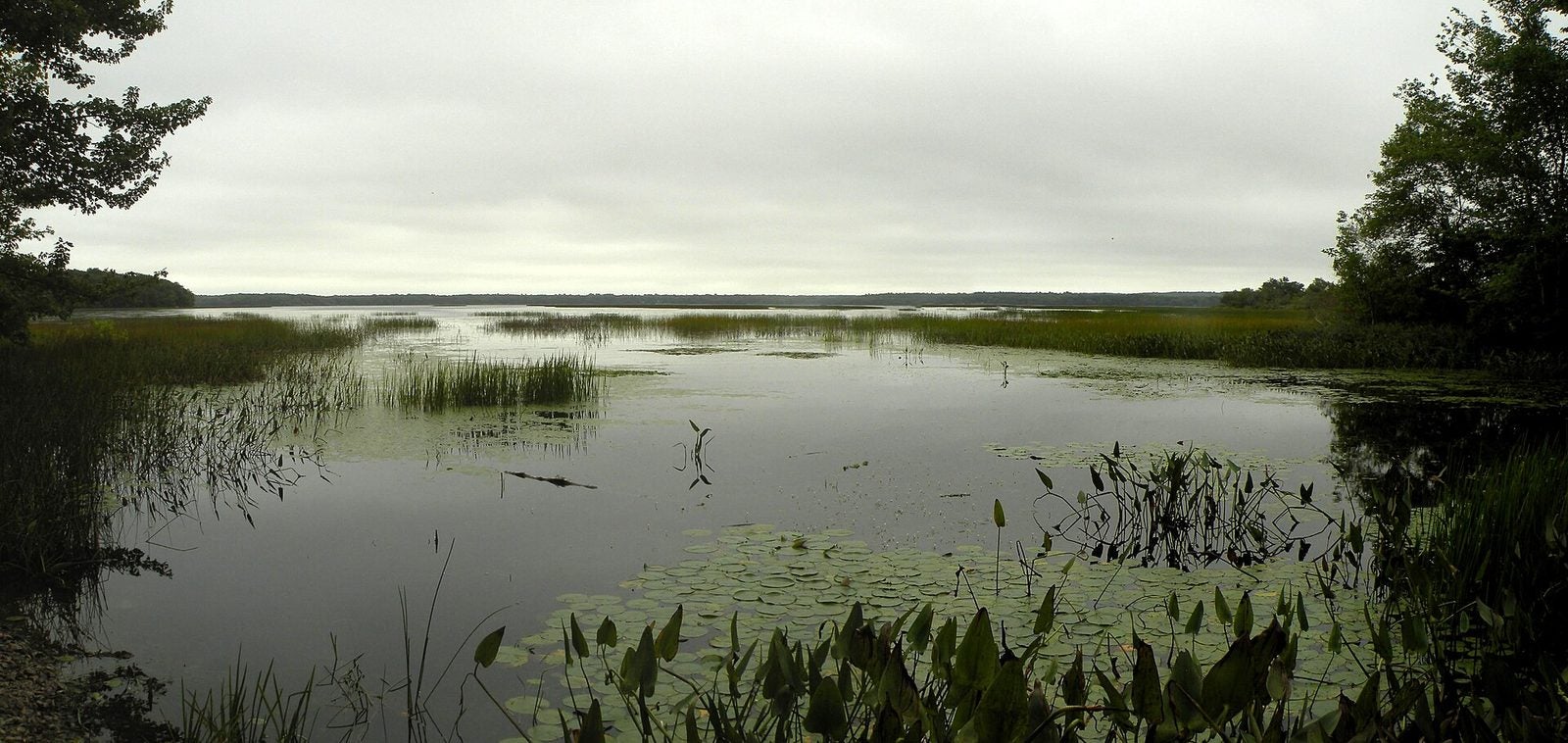
Our funded projects study the water Rhode Islanders depend on, from PFAS in the Pawcatuck River to water supply in the Chipuxet watershed around Worden Pond.
Explore funded projectsWorden Pond, South Kingstown. Photo: Doug McGrady, CC BY 2.0. Courtesy of Wikimedia Commons.

Get involved
- URI Watershed Watch: volunteer to monitor the water quality of Rhode Island lakes, ponds, streams and rivers (URI Cooperative Extension)
- Narragansett Bay Estuary Program: reports, data and ways to support the health of Narragansett Bay and its watersheds (NBEP)
State water agencies
- Water resources at RIDEM: water quality, permitting and protection programs (RI Department of Environmental Management)
- Rhode Island Water Resources Board: statewide water supply planning and management (State of Rhode Island)
- Rhode Island Sea Grant: research and outreach for Rhode Island’s coast and Narragansett Bay (URI Graduate School of Oceanography)