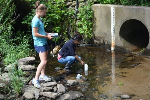
(Collaborators: A. Gold, K. Addy, URI)
Climate change and expected increases in extreme storm events and other weather-related events (e.g., drought, heat waves) may increase contamination risks to freshwater resources. In watersheds with agricultural and suburban development, extreme weather events can transmit pulses of nutrients, sediments, and organic material from watersheds and degrade the value of freshwater resources for drinking water, fisheries, and recreational uses. Best management practices (BMPs) are often implemented within watersheds to prevent the transport of contamination to waterways, but the extent, location, and magnitude of these BMPs are not usually evaluated for their net effect on reduction in watershed contamination. Models are often used to address this knowledge gap, but a major challenge with current models used for BMP planning and assessment at the watershed scale is that models are often not tested for accuracy under various types of BMP, weather, and climatic scenarios. We will use a network of water quality sensors to monitor water quality from a variety of watersheds with different land-use and associated implemented BMPs as well as varying geographic/geologic conditions. These data will help calibrate and validate watershed water quality models under these different scenarios. We will also engage stakeholders (e.g., farmers, local and state decision-makers, NRCS, and non-profit environmental organizations) through dialog and meetings. Outcomes guide watershed management by improving the efficacy of BMP investments for water quality improvements.
