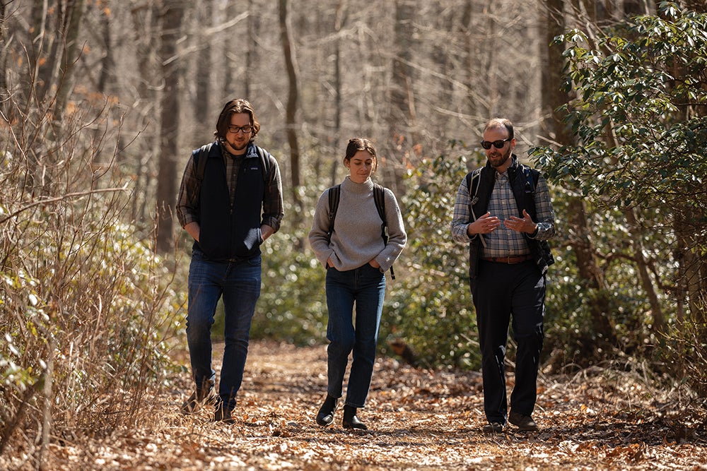
At the top of the University of Rhode Island’s (URI) Kingston campus sits what may be one of the area’s best-kept secrets: 300 acres of forest, wetlands, and streams called the North Woods.
The forest just north of Flagg Road is home to pine stands, vernal pools, historic ruins, and a myriad of native species. And while just steps away from campus, The area is relatively unknown to much of the University community — something Assistant Professor of Professional and Public Writing and Natural Resources Science Madison Jones is hoping his skills as a trans-disciplinary researcher can help fix.
Jones uses digital technology like web-based apps, digital maps, and augmented reality to connect communities to the cultural, historical, and ecological significance of places like the North Woods. He develops this place-based work through a layered approach to storytelling called “deep mapping.”
Jones uses digital technology like web-based apps, digital maps, and augmented reality to connect communities to the cultural, historical, and ecological significance of places like the North Woods. He develops this place-based work through a layered approach to storytelling called “deep mapping.”
A term familiar to environmental historians and 19th century Americanists, according to Jones, deep mapping isn’t widely known as a method today — and he thinks it should be. By combining scientific, artistic, and cultural information, digital deep mapping helps communicate a comprehensive, meaningful sense of place.
“You take different kinds of thinking about a place, and you layer them on top of each other until you get this rich, deep connection,” Jones explains. “The geological history of a place offers us one perspective, whereas different cultural histories of a place add different dimensions to that understanding such as significant events, nonhuman species, the ways humans use the space in contemporary culture.”
Jones is collaborating with stakeholders across the University to craft a digital deep map of the North Woods. Through a mobile phone app featuring rotating installations along walking trails, visitors will be able to learn about native species, seasonal ecological features, and indigenous and colonial histories, among many other topics of interest.

“What is it that makes this place special?” Jones asks. “Where have we come from? What are the debts that we owe because of our origins? What are the responsibilities that we have to the human and non-human communities that call our campus home? I think having a greater sort of place-based literacy is really important for the identity of the University.”
In the first phase of this research project, Jones’s Rhetorical Field Methods for Science Communication class has been conducting field-based writing and research assignments in the North Woods. Students in his Digital Writing Environments, Location, and Localization (DWELL) lab have also been creating 3D models of environmental features, such as historic stone walls and vernal pools.
Through a mobile phone app featuring rotating installations along walking trails, visitors will be able to learn about native species, seasonal ecological features, and indigenous and colonial histories, among many other topics of interest.
He hopes to also engage a wide variety of trans-disciplinary researchers across the University to craft the deep map, and is currently collaborating with Assistant Art Professor Travess Smalley, several faculty members in the URI Natural Resources Science Department, and the North Roads Stewardship Council.
“We might have an artist who thinks about place in one way, or a scientist thinks about place in another, or historian or an anthropologist — but there’s a lot that can be gained by putting those different ways of thinking and conversation with each other,” Jones explains. “What we’re trying to do is to create a wider perspective, but not just in the user of the project. We’re hoping that by people collaborating with us on this project, they will actually start to cultivate some of those trans-disciplinary connections themselves in their own work.”


Jones became interested in digital deep mapping while conducting his dissertation research at the University of Florida in 2020. His first project, an exploration of Paynes Prairie Preserve State Park near Gainesville, engaged park visitors with the historical importance of the land from indigenous communities through present day via a digital walking tour and interactive signage in the park. He was awarded a 2022 Conference on College Composition and Communication Technical and Scientific Communication Award in the category of Best Article on Pedagogy or Curriculum in Technical or Scientific Communication for the work.
“I think attention to a place is a very vital part of our communicative environments. And it’s one that digital technology is really only beginning to acknowledge and lean into.”Madison Jones
In addition to the North Woods project, the DWELL Lab currently is collaborating with a team of community members at URI and descendants of Block Island’s Indigenous and African American inhabitants to preserve its history on the island, as well as working with Roger Williams Park to communicate its storm water initiatives. Additionally, DWELL is also providing communication support to URI’s Sources, Transport, Exposure & Effects (STEEP), a research initiative exploring the environmental impacts of chemical contaminants called PFAS.
“What I’m interested in is forging these connections as a transdisciplinary researcher in order to better communicate,” Jones says. “I think attention to place is a very vital part of our communicative environments. And it’s one that digital technology is only really beginning to acknowledge and lean into.”
