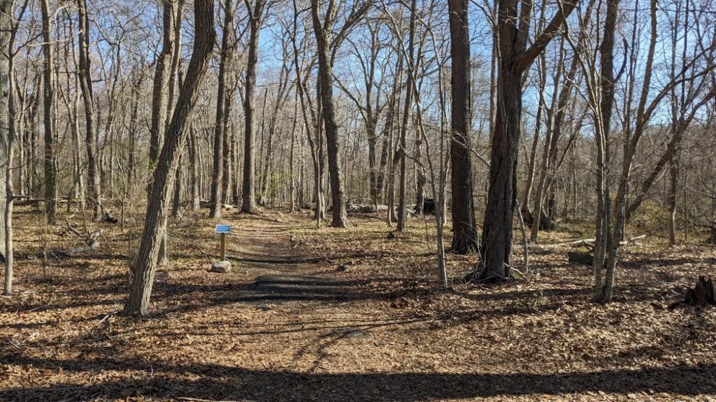
While in the North Woods, make sure that you respect established trails and follow trail maps. Some areas are off-limits for safety reasons. Be alert for signs that mark No Trespassing areas. Staying on the trail keeps everyone safe, and it also protects natural and cultural resources in the North Woods.
At this time, there are no wheelchair accessible trails in the North Woods. There are students and professors working to make the North Woods more accessible and inclusive.
Quick Visiting Norms:
- Stay on trails and obey signs
- Do not disturb research equipment, flagging, or items from historical sites. Leave everything as you find it.
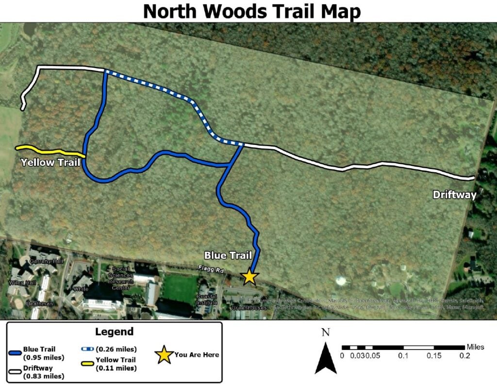
Blue Trail
The entrance to the Blue Trail is across from the Coastal Institute on Flagg Road. It can be hard to spot, as the trail is slightly uphill. From the road, the easiest marker is the speed bump across from the Coastal Institute parking lot. The Blue Trail connects Flagg Road to the Driftway.
Driftway
Sections of this trail were originally a historic road, dating back to the 1800s. It runs parallel to Flagg Road, from the top of Old North Road to the solar panel array near Plains Road. The trail is relatively wide, and the footpath varies between dirt, sand, and gravel. It crosses through different ecological communities, including several types of forests and wetlands.
Yellow Trail
The Yellow Trail is a short connector that bridges the intramural athletic fields with the Blue Trail. Entering along the Yellow Trail will take you through oak forests, with many beautiful stone walls from the colonial era.