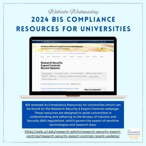
The United States Department of Commerce, Bureau of Industry and Security (BIS), released two New Export Compliance Resources for Universities:
1. Compliance Note: Trends in Voluntary Self-Disclosures Related to Universities over the last ten years. BIS highlighted the risks below:
a. Biohazards: Unauthorized export of specific chemicals, microorganisms, and toxins.
b. Entity List: Unauthorized export of items to a party on the Entity List.
c. Deemed Exports: Unauthorized release of EAR-controlled technology to foreign national employees or students.
d. TMP: Universities improperly using the TMP license exception. The TMP allows for the temporary export and reexport of various items subject to the EAR, if the items are returned no later than one year after export, reexport, or transfer if not consumed or destroyed during the period of authorized.
e. EEI: Universities failed to file EEI in the Automated Export System (AES) and undervalued items related to the export transaction.
f. Recordkeeping: Universities failed to maintain export records for the required five years, and in other cases, export records were either incomplete or non-existent.
2. Compendium of Resources: Export Compliance Tools for Universities. Examples include:
a. The China Defense Tracker: https://www.aspi.org.au/report/china-defence-universities-tracker
b. Classify My Items: https://www.bis.gov/regulations/classify-your-item
c. Training Resources: BIS Seminar Schedule | Bureau of Industry and Security
Visit our website for more information: