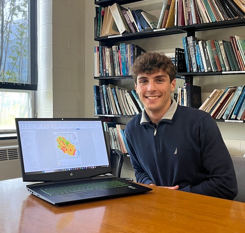
This past summer Avery Hurwitz, a double major in Environmental Science and Management and Geology and Geological Oceanography from North Kingstown, Rhode Island, used Geographic Information Systems (GIS) technology to map flood risks in Providence as part of his CELS Summer Research Fellowship. Hurwitz combined his passion for climate science with real-world applications to help develop nature-based solutions for urban flooding in the city.
Hurwitz has long had a passion for meteorology and atmospheric science, and his work with the Department of Geosciences gave him the unique opportunity to work directly with community members, planners, and researchers to identify flood risks across Providence. “Increased levels of greenhouse gases cause greater and more common severe weather events, and with this fellowship, I was able to identify flood-prone areas in Providence and use nature-based solutions to potentially limit flooding and minimize life-threatening situations,” he says.
Nature-based solutions – adaptation-based strategies and measures implemented in order to protect, restore, or manage ecological systems while helping improve the quality of life for surrounding communities – are an important part of sustainable urban planning and climate resilience. As the name suggests, nature-based solutions seek to address ecological concerns particularly within urban areas by incorporating elements of nature that serve key functions to help protect, restore, and maintain the environment, as well as the people and communities that benefit from them. By using ArcGIS, Hurwitz has been able to build maps and simulation models that identify risks and potential solutions that protect both ecosystems and communities from the dangerous, devastating impacts of climate change, including flooding.
Hurwitz’s initial work in the fellowship consisted of familiarizing himself with the GIS software ArcGIS Pro and its ModelBuilder tool in order to create maps and models later on in the summer. “These experiences helped me build my confidence to create a flood map for Providence, and then I used that map to find ways to implement nature-based solutions,” he says. Hurwitz then created his final flood map for the city, which also included working with specific remote sensing and water-based data from organizations like Rhode Island Geographic Information System, United States Geological Survey, and the National Oceanic and Atmospheric Administration.
The field of geosciences encompasses much more than just rocks and minerals, touching on several cornerstones of earth and environmental sciences. A multi-, interdisciplinary field rooted in understanding earth, water, and climate science, geosciences carries a myriad of opportunities for research and exploration to better understand environmental issues that impact the earth, air, water, and the societies that are in turn impacted by these vital earth functions. URI’s Department of Geosciences emphasizes the various applications and approaches in the field that offer interesting opportunities for students, and the unique location of the University itself for research. As the department’s website points out, all of humanity’s major environmental problems—from clean water shortages to global warming, sea level rise to the availability of key natural resources, and more—find their scientific roots within the study of earth, water, and climate sciences.
Both the CELS Summer Research Fellowship and GIS coursework have proven valuable opportunities for Hurwitz to apply lessons from the classroom to real-world settings. He took NRS 410 Fundamentals of GIS over the first summer term, which he says helped him greatly with getting familiarized with ArcGIS Pro. He adds that learning basic geology also aided in his work: “I learned the basics of hydrology and how watersheds (ex., lakes, rivers, ponds, etc.) are operated.” He recalls one particular highlight from his fellowship: ENACTS (Equitable, Nature-based Climate Solutions), a research-based initiative led by Principal Investigator Soni Pradhanang, professor of geosciences, that aims to shape policy and improve implementation of nature-based solutions. ENACTS hosted an event that brought together Roger Williams Park and the broader community. “Locals came and spoke with ENACT volunteers and CELS fellows, and mentioned the good things that came with the park and some things that they could work on. It was a mix of people of all backgrounds with one goal: to make RWP more nature-oriented, while also creating a sense of community in the area. It was a great opportunity to make connections and see what we as a community could do to help RWP become more nature-based.”
“My advice for students who want to pursue a fellowship is not to limit themselves to a specific path,” Hurwitz says. He added that while he has a strong interest in meteorology, he did not limit himself to applying only to opportunities within the atmospheric sciences. When he came across a project within a topic he was not as experienced in, he still took the opportunity, “knowing that I would make great connections and broaden my knowledge in other fields like hydrology management.” Hurwitz gained a great deal of knowledge and experience around GIS, flood modelling, and urban climate resilience planning. He adds that such learning opportunities like the projects he has worked on provide experiences “that could be extremely useful in the future, especially if your ‘dream’ career doesn’t pan out like you want it to.”
~Written by Yvonne Wingard, CELS Communications Fellow