A Digital Walking Tour at Roger Williams Park

In collaboration with the Providence Stormwater Innovation Center (PSIC), DWELL Lab is developing an augmented reality (AR) walking tour to highlight the center’s work with urban stormwater infrastructure. The tour takes place along the 1.25 mile loop around Roosevelt Lake in Roger Williams Park (RWP) in Providence. The first iteration of the tour is nearing completion and will be finalized in December of 2024. However, we expect to continue to grow and develop the content for years to come, reflecting the dynamic efforts made to improve water quality at RWP as a “living lab,” or an open innovation ecosystem.
Plagued by poor water quality and eutrophication, many of the water bodies at RWP are remediated by PSIC’s stormwater best management practices, or BMP, sites. In fact, there are 35 structural and non-structural stormwater BMPs installed in Roger Williams Park, at least five of which are located at Roosevelt Lake. The paved path along Roosevelt Lake is ADA-accessible and open to the public.
Project Collaborators
| Faculty | Madison Jones (WRT & NRS) |
| Community Partners | Ryan Kopp and Rebecca Reeves (Providence Stormwater Innovation Initiative) José R Menéndez López (Assistant Professor, Northeastern) |
| Graduate Students | Satya Sullivan (MAMA ’25); Joseph Ahart (MESM ’24); Ally Overbay (MESM ’24); AnnaFaith Jorgensen (MESM ’24) |
| Undergraduate Students | Novena Kapisa (APG ’24); Calder Puckett (WRT ’26); Aidan Donnellan (Computer Engineering ’26) |
Project Snapshot
| Phase I: Discovery | Phase II: Prototyping & Infrastructure | Phase III: Production & Publication | |
| Description | Feasibility study; cocreation workshops with community partners; initial mapping and content development; securing funding for project phases. | User testing; creating additional content; (website, video, and augmented reality); imaging and digital production; usability report; user testing; securing additional funding. | Public promotion; present analysis; finalize project content; develop, market, and distribute; publish findings; create sustainable publishing model for future work. |
| Start Date | January 2023 | May 2024 | September 2024 |
| Complete | January 2024 | August 2024 | December 2024 |
| Funding | Catalyst Grant, URI Costal Institute | RI NSF EPSCoR SURF Program | TBA |
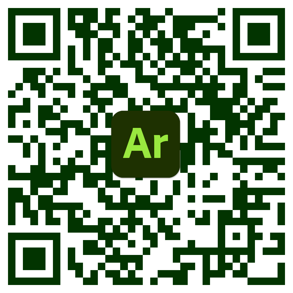
Because of its proximity to stormwater BMPs and its ADA-accessible walking trail, Roosevelt Lake is the focus of the AR walking tour. The tour will include multiple AR objects, including renderings of structural stormwater BMPS—one of which is linked below as a QR code. An updated list of proposed Points of Interest (POIs) and route may be found on the project’s shared Google MyMap.

This walking tour not only celebrates PSIC’s work, but also informs the public about stormwater BMPs and serve as an educational tool for Roger Williams Park staff.
Funding Acknowledgement

The initial phase of this project is made possible in part by the generous support of the URI Coastal Institute’s 2023 Catalyst Grant. We are grateful for the support of the Costal Institute and the collaborative support of the Providence Stormwater Innovation Center.
Summer support for students was generously provided by the 2024 RI NSF EPSCoR Summer Undergraduate Research Fellowship program and funded by the NSF Award #OIA-1655221. Any opinions, findings, and conclusions or recommendations expressed in this material are those of the author(s) and do not necessarily reflect the views of the National Science Foundation.
Sample Content


To access a sample augmentation of the project:
1. Scan the following QR code with your smart device’s camera (or click the following link from your mobile device: https://adobeaero.app.link/sVMEYV3rGu)
2. You will be prompted to download and install Adobe Aero (if you do not already have the app)
3. The augmentation should automatically load after installation (you may have to rescan the QR code [or click the link] again once you install the app)
