What scientific, economic and cultural discoveries are yet to be made as we explore the ocean?
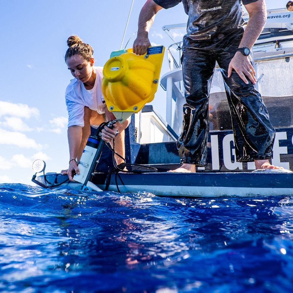
The Ocean Robotics program at the University of Rhode Island is an active and exciting research group with projects spanning many facets of marine science and technology. Faculty from both the Graduate School of Oceanography and the Department of Ocean Engineering are using and developing robotic platforms for marine environments ranging from shallow coastlines to the deepest parts of the world’s ocean.
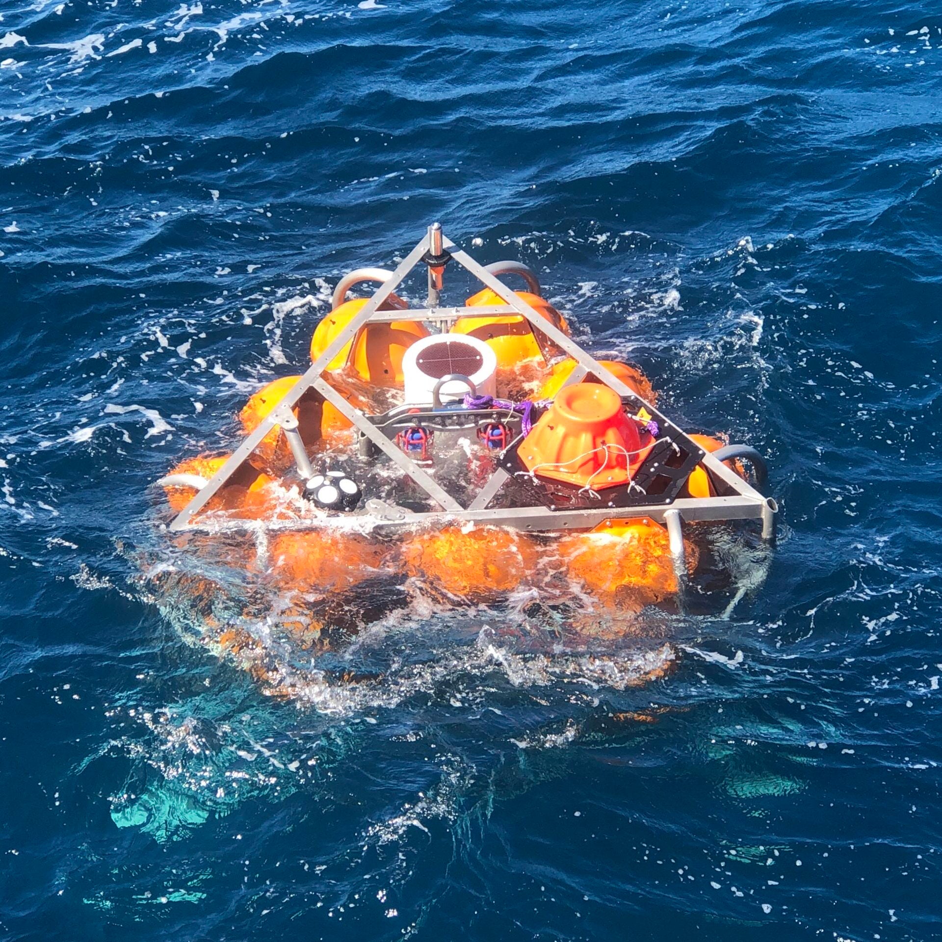
Robotic systems are transforming oceanography and revolutionizing our ability to collect and process data in profoundly new ways. Application areas include seafloor mapping and imaging, mid-water physics and biology, ocean acoustics, and much more.

Ocean Technology Labs & Research Groups
| Name | Faculty/PI | Themes |
|---|---|---|
| Ocean Robotics Group | GSO & OE faculty | Our lab develops robotic platforms for marine environments ranging from shallow coastlines to the deepest parts of the world’s ocean. |
| Smart Ocean Systems Laboratory | Mingxi Zhou | Our lab group studies vehicle autonomy and decision making, multi-vehicle collaboration and accessible unmanned platform and system development |
| Undersea Robotics and Imaging Laboratory (URIL) | Brennan Phillips | Our lab specializes in creating novel systems for oceanographic research and deep-sea exploration, with a focus on imaging systems, soft robotics, and lightweight, low-cost technology. |
| The Omand Lab | Melissa Omand | Our lab group studies the physical movement of organic carbon in the ocean. We specialize in situ imaging and optical proxies from autonomous platforms. |
| Marine Ecology and Technology Lab | Andy Davies | Our lab focuses on the spatial ecology of marine ecosystems, primarily reefs, using a mixture of natural history observation, experimentation and novel technologies to untangle the ecology of these enigmatic habitats. |
| NOAA Ocean Exploration Cooperative Institute | Adam Soule | Our mission is to explore, map, and characterize the nation’s vast ocean territory, to develop and implement new technologies, and to engage future generations of ocean scientists, engineers, and stakeholders. |
| Inner Space Center | We are a one-of-a-kind national facility that supports live ocean exploration via telepresence technology. |
Faculty | Ocean Robotics & Technology


Professor of Oceanography, Executive Director of the Ocean Exploration Cooperative Institute
Marine Geology and Geophysics
Associate Professor of Oceanography
401.874.6633
mzhou@uri.edu