Mapping at the Nexus of the Green and Digital World

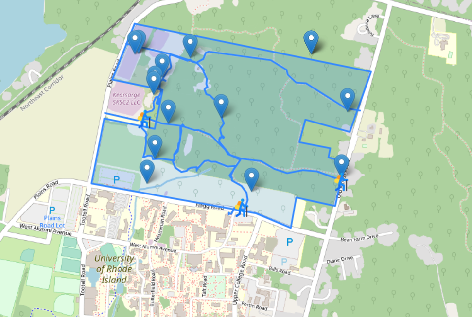
Augmenting the North Woods is a DWELL Lab project that aims to create an immersive multimedia “classroom in the forest” experience for the North Woods—a 300-acre parcel of unmanaged forests and wetlands just north of URI’s campus. Taking the form of an open access digital resource, the project will combine augmented reality (AR), web development, and digital mapping to lay the groundwork for the larger-scale research and teaching project, the North Woods Stewardship Project.

Leaflet map: http://madisonpjones.com/projects/north-woods-map.html. This map was created using leaflet, the leading open-source JavaScript library. Data was sourced from Google map and information provided by the University of Rhode Island’s North Woods Stewardship Project. GPS traces for the North Woods trail system were provided by Timothy Piacentini, affiliate of the North Woods Stewardship Project. All rights reserved.