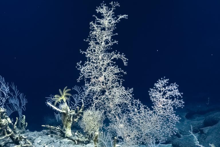
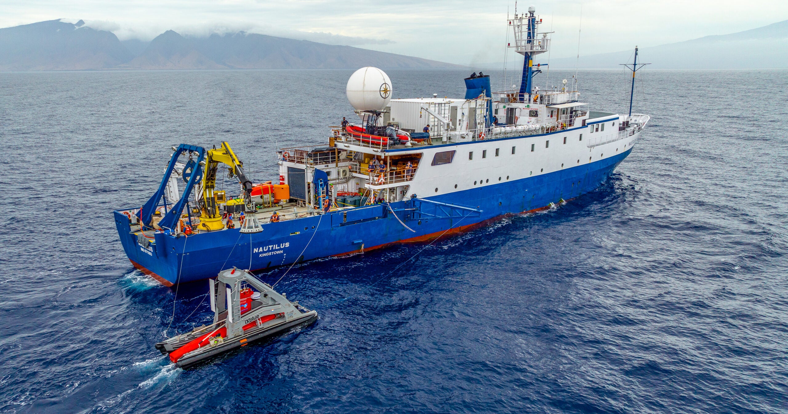
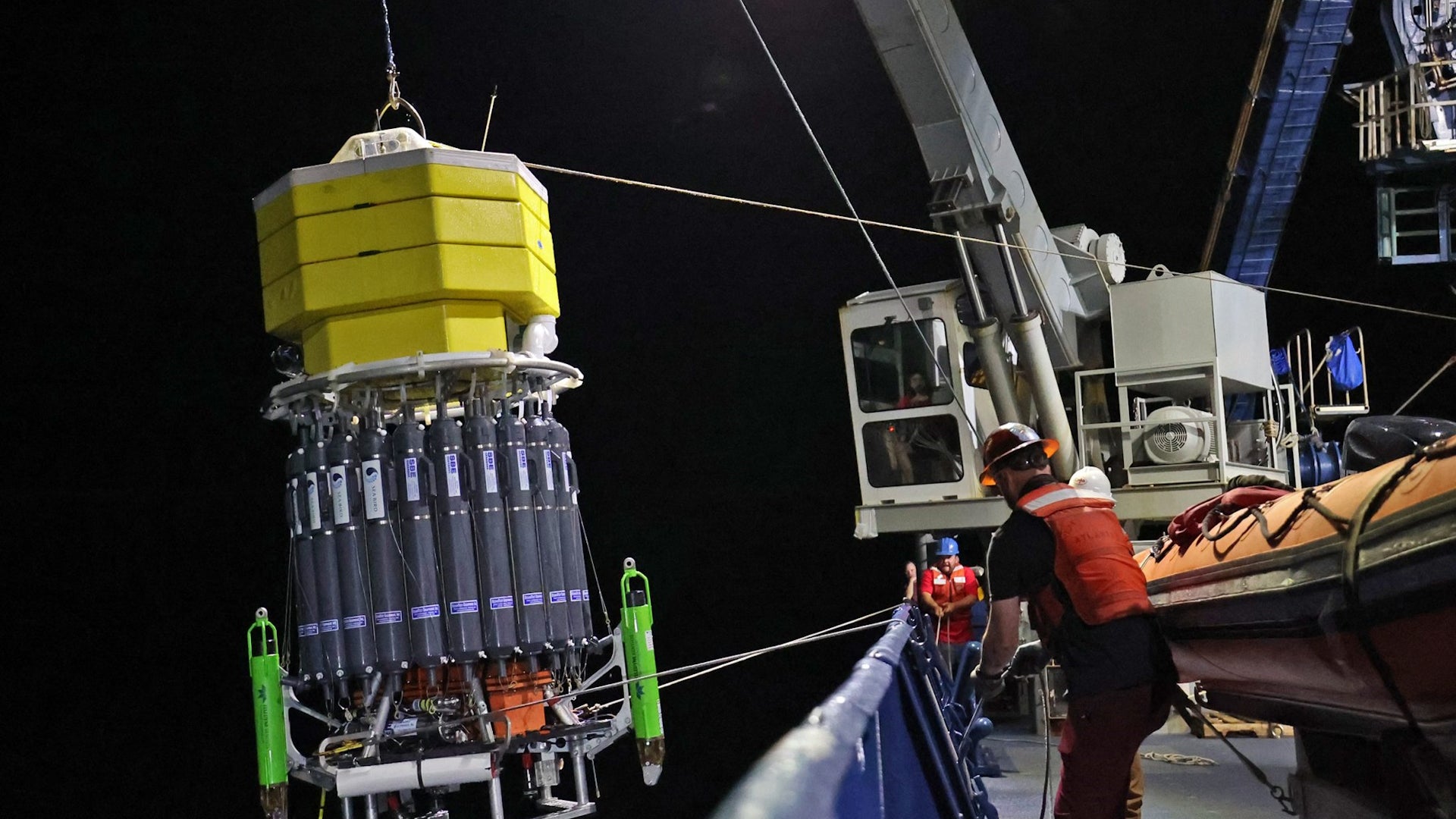
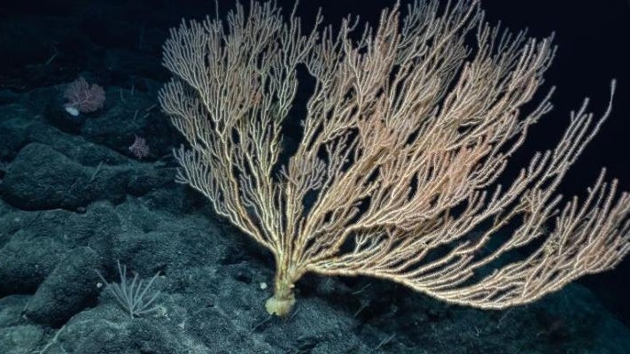
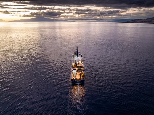
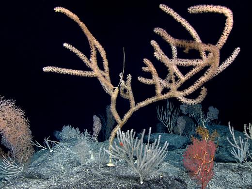
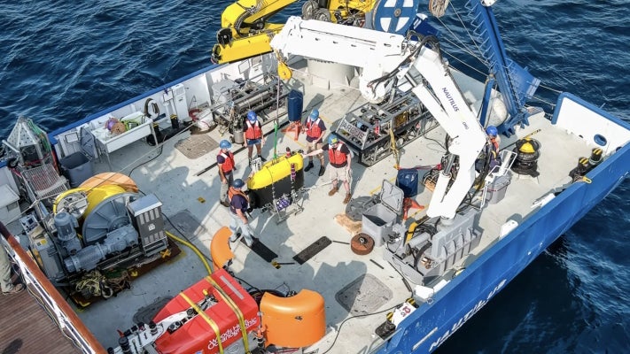
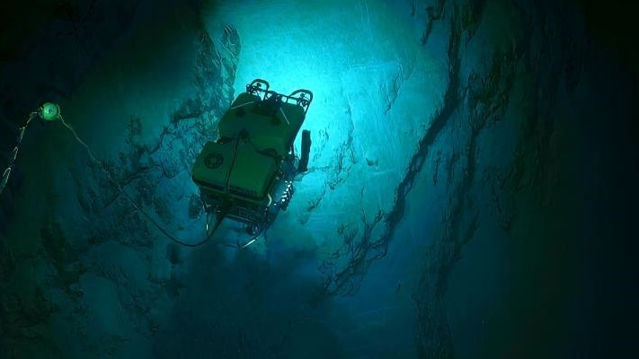
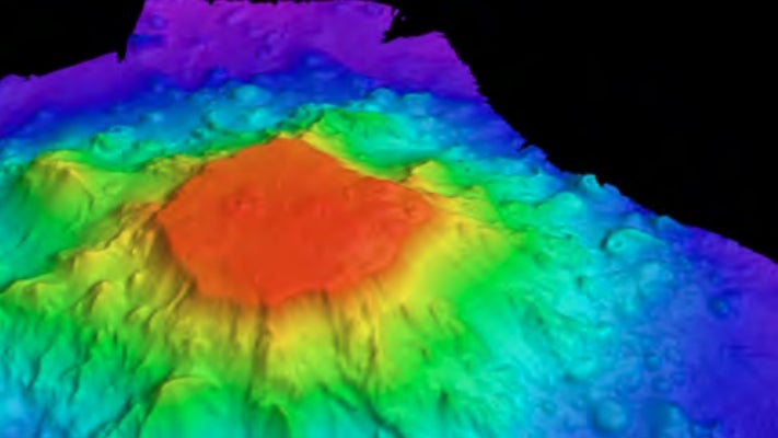
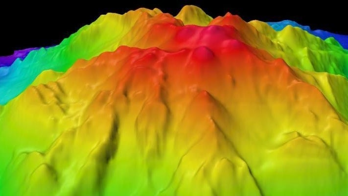
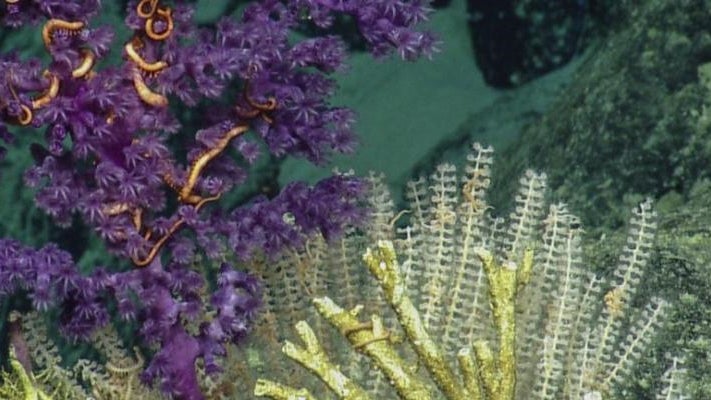
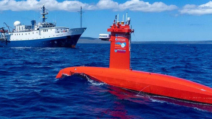
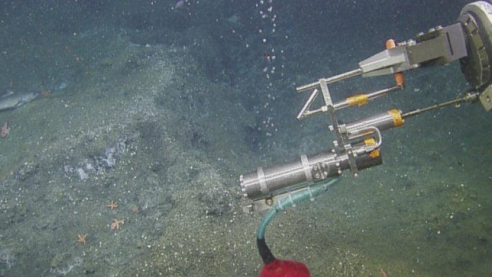
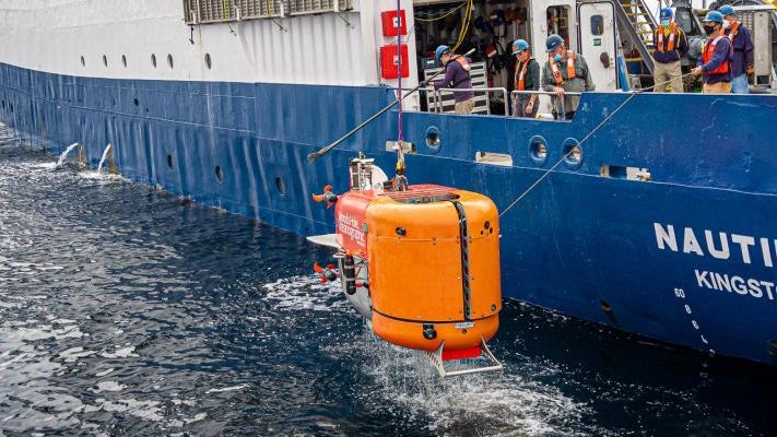
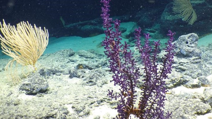
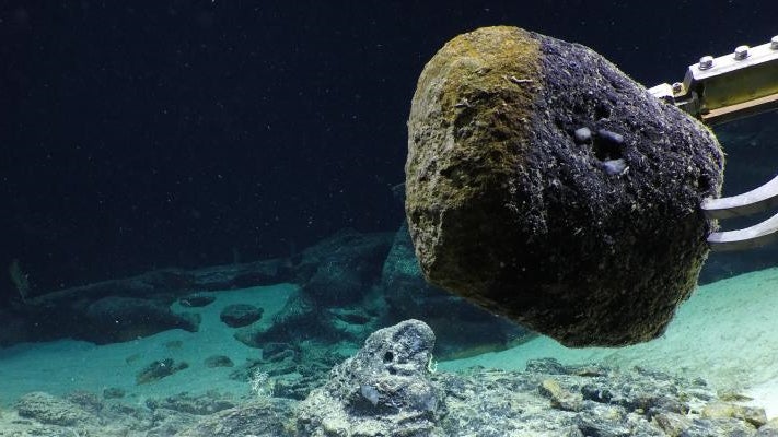
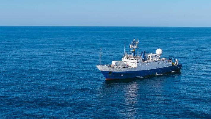
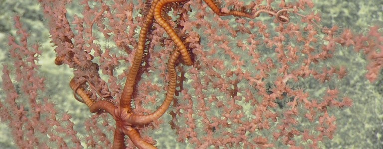
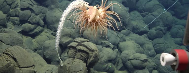
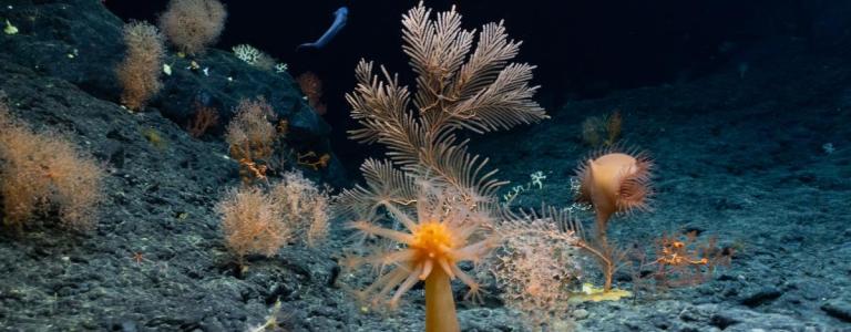
Expeditions Year 5 ShakedownVIEW EXPEDITION INFO American Samoa Leg 1VIEW EXPEDITION INFO American Samoa Leg 2VIEW EXPEDITION INFO Howland and BakerVIEW EXPEDITION INFO JarvisVIEW EXPEDITION INFO PalauVIEW EXPEDITION INFO return to Year 5 projects directory Year 4 ShakedownAllison Fundis (OET) and Daniel Wagner (OET)Expeditions NA147 & NA148Testing various systems for 2023 Hawaiian Islands expeditionsVIEW EXPEDITION INFO Kingman Reef and Palmyra AtollDaniel Wagner (OET)Exploring Kingman Reef and Palmyra Atoll, utilizing advanced technologyVIEW EXPEDITION INFO Mapping of JarvisDaniel Wagner (OET)Mapping Jarvis Island’s seafloor, adding to scientific knowledgeVIEW EXPEDITION INFO Tech Challenge – Multi-Vehicle ExplorationLarry Mayer (UNH), Rick Murray (WHOI), Robert Ballard (OET), and Adam Soule (URI)Tech integration expedition: USV, AUV, and DAP for ocean explorationVIEW EXPEDITION INFO Papahānaumokuākea Marine National Monument (PMNM)Daniel Wagner (OET)E/V Nautilus explores unseen deep-sea habitats in PMNM with ROVVIEW EXPEDITION INFO Johnston AtollDaniel Wagner (OET) and Larry Mayer (UNH)Exploration in Johnston Atoll Unit, expanding knowledge of deep-sea habitatsVIEW EXPEDITION INFO return to Year 4 projects directory Year 3 Kingman Reef and Palmyra AtollBob Ballard (OET)ROV survey and geological sampling in Pacific Remote Islands Marine National MonumentVIEW EXPEDITION INFO Luʻuaeaahikiikekumu – Ancient Seamounts of Liliʻuokalani RidgeBob Ballard (OET)Seamount exploration in PMNM to understand geology and biodiversityVIEW EXPEDITION INFO MultiVehicleLarry Mayer (UNH), Rick Murray (WHOI), Robert Ballard (OET), Adam Soule (URI) and Jason Fahy (URI)Testing autonomous ocean exploration systems and collaboration conceptsVIEW EXPEDITION INFO Deep Seamount Biodiversity of Johnston Atoll Leg 1Bob Ballard (OET)Mapping expedition to uncover seafloor features in Johnston Atoll PRIMNMVIEW EXPEDITION INFO Deep Seamount Biodiversity of Johnston Atoll Leg 2Bob Ballard (OET)ROV dives to explore biodiversity and geology in Johnston Atoll PRIMNMVIEW EXPEDITION INFO NWHI/PMNM Leg 1Robert Ballard (OET)Mapping expedition in PMNM, contributing to seafloor knowledge and navigation safetyVIEW EXPEDITION INFO NWHI/PMNM Leg 2Robert Ballard (OET)High-resolution mapping in PMNM to enhance seafloor knowledge and protectionVIEW EXPEDITION INFO return to Year 3 projects directory Years 1 and 2 Benthic Communities Across BiomesInterdisciplinary expedition studies Southern California Borderland’s biotic diversity, minerals, and biopharmaceutical potentialVIEW EXPEDITION INFO US EEZ MappingMapping gaps in U.S. Exclusive Economic Zone with advanced technologyVIEW EXPEDITION INFO Santa Barbara Basin & West Coast EEZ MappingExpedition explores California’s oxygen minimum zones, maps seafloor, and conducts researchVIEW EXPEDITION INFO Cascadia Margin Seep ExplorationExploring methane seeps along the Cascadia Margin with ROV divesVIEW EXPEDITION INFO West Coast EEZ MappingNOAA mapping expedition in U.S. Exclusive Economic Zone supports researchVIEW EXPEDITION INFO Tech Demo NUI/MesobotExpedition tests autonomous underwater vehicles off the Southern California coastVIEW EXPEDITION INFO Mapping to HawaiiE/V Nautilus maps central Pacific, addressing seabed mapping gapsVIEW EXPEDITION INFO Liliuokalani Ridge SeamountsExpedition maps Liliʻuokalani Seamounts in Papahānaumokuākea Marine National MonumentVIEW EXPEDITION INFO S. Wentworth & Don QuixoteROV survey explores seamounts in Papahānaumokuākea Marine National Monument for biology and geologyVIEW EXPEDITION INFO Chautauqua SeamountsROV survey and geological sampling in Chautauqua SeamountVIEW EXPEDITION INFO return to Years 1 and 2 projects directory