Overview
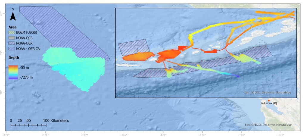
The University of New Hampshire (UNH), Saildrone, and the Monterey Bay Aquarium and
Research Institute (MBARI) have been collaborating since 2019 through the support of the
National Ocean Partnership Program (NOPP) and NOAA OER on the technical development of
the Saildrone SURVEYOR, a 22m platform that offers the potential to carry out deep ocean
mapping, exploration and characterization missions in a very efficient manner. The initial sensor
suite on the Saildrone SURVEYOR includes deep water (EM304) and shallow water (EM2040)
multibeam sonars, a full suite of broadband fisheries sonars (EK80s) for mapping the water
column, an ADCP, a complete environmental sensor suite and a MBARI 3G ESP-eDNA sampling
system. This initial funding has allowed initial deployment and very successful sea trials of the
system, clearly demonstrating the potential capabilities. Here we plan to further our efforts to
understand the capabilities and constraints of the long-term deployment of such a system in
operational mode, by exploring the SURVEYOR’s ability to map and collect environmental data
over an extended time, in a remote region of high-priority to NOAA and the nation. In doing so
we will be leveraging the initial development funds and evaluating how this integrated sensing
approach, when scaled, can significantly reduce the timeframe and cost for large-scale ocean
mapping of the U.S. EEZ and gathering data to support other high-priority ocean measurements.
Update


