The Graduate School of Oceanography’s Narragansett Bay Fish Trawl Survey is an extensive data collection dating back to 1959 when Charles Fish began the survey. The University is pleased to share these data with others in the interest of furthering unbiased fisheries, management and oceanographic research.
We ask that any use of these data properly cite the University of Rhode Island’s involvement in this data collection.
Please read our policy letter before using any of the following data.
Surface and Bottom Temperature:
Surface and Bottom Conductivity, Salinity, Temperature, and Dissolved Oxygen:
Fish and Invertebrate Catch Data, 1959 through present:
Annual Average Catch (number per tow) of Most Abundant Species 1959-2005 (used by Collie et al. 2008)
An updated version is also available.
Or see a brief summary of the trawl data (1959-2017) using the analyses from Collie et al. 2008.
For all other data requests, please contact Nina Santos, at: nrsantos@my.uri.edu
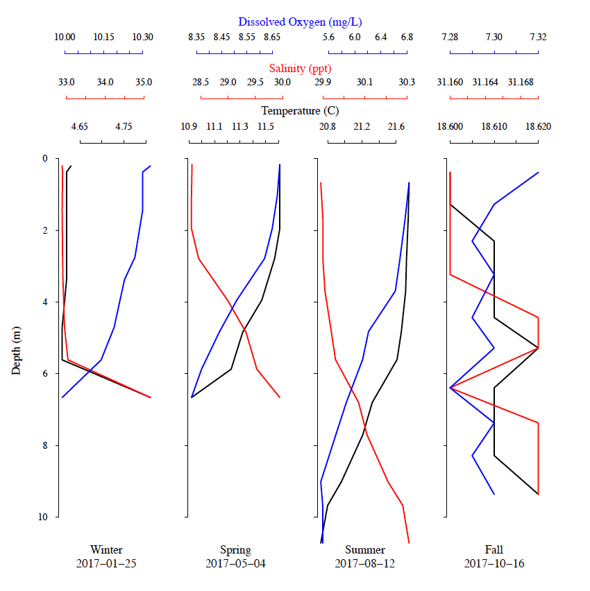
An example of YSI profile data from the bay station (Fox Island) in 2017. From left to right, the profiles were collected: winter (01-January-2017), spring (4-May-2017), summer (12-August-2017), and fall (16-October-2017). Dissolved oxygen, blue; salinity (parts per thousand), red; water temperatures (Celsius), black lines.
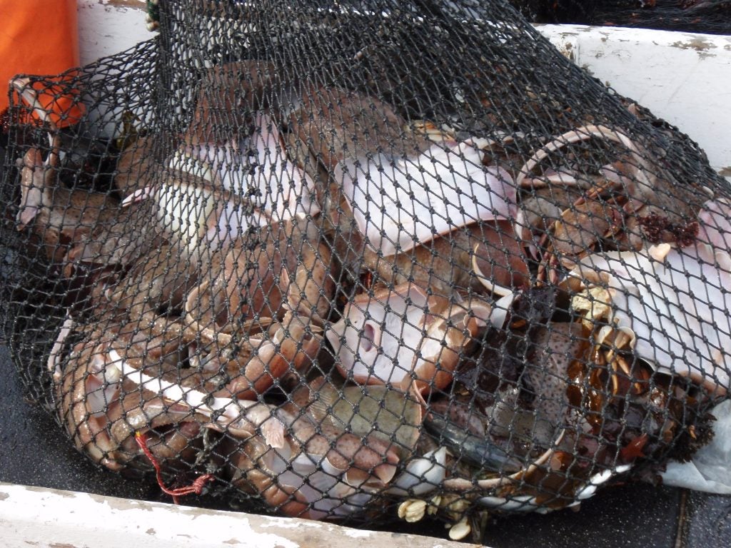
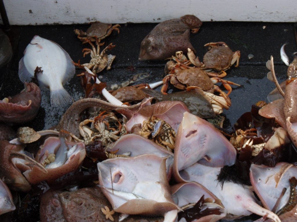
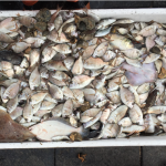
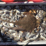
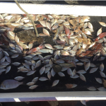
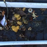
A typical winter catch at Whale Rock: little skate (Leucoraja erinacea), winter flounder (Pseudopleuronectes americanus), longhorn scuplin (Myoxocephalus octodecemspinosus), silver hake (Merluccius bilinearis), cancer crab (Cancer sp.), and lobster (Homarus americanus). Photo credit: J. Danforth.
 Home
Home Browse
 Close
Close Events
 Maps
Maps Email
Email Brightspace
 eCampus


