Overview
Utilize geospatial technologies to address real world location-based challenges across a variety of industries.
This graduate certificate provides students with highly-sought after skills to include:
- Manage, manipulate, and create data using industry standard desktop software and online tools
- Analyze data and answer location-based questions
- Convey visualizations through hardcopy products, interactive web maps, applications, and story maps
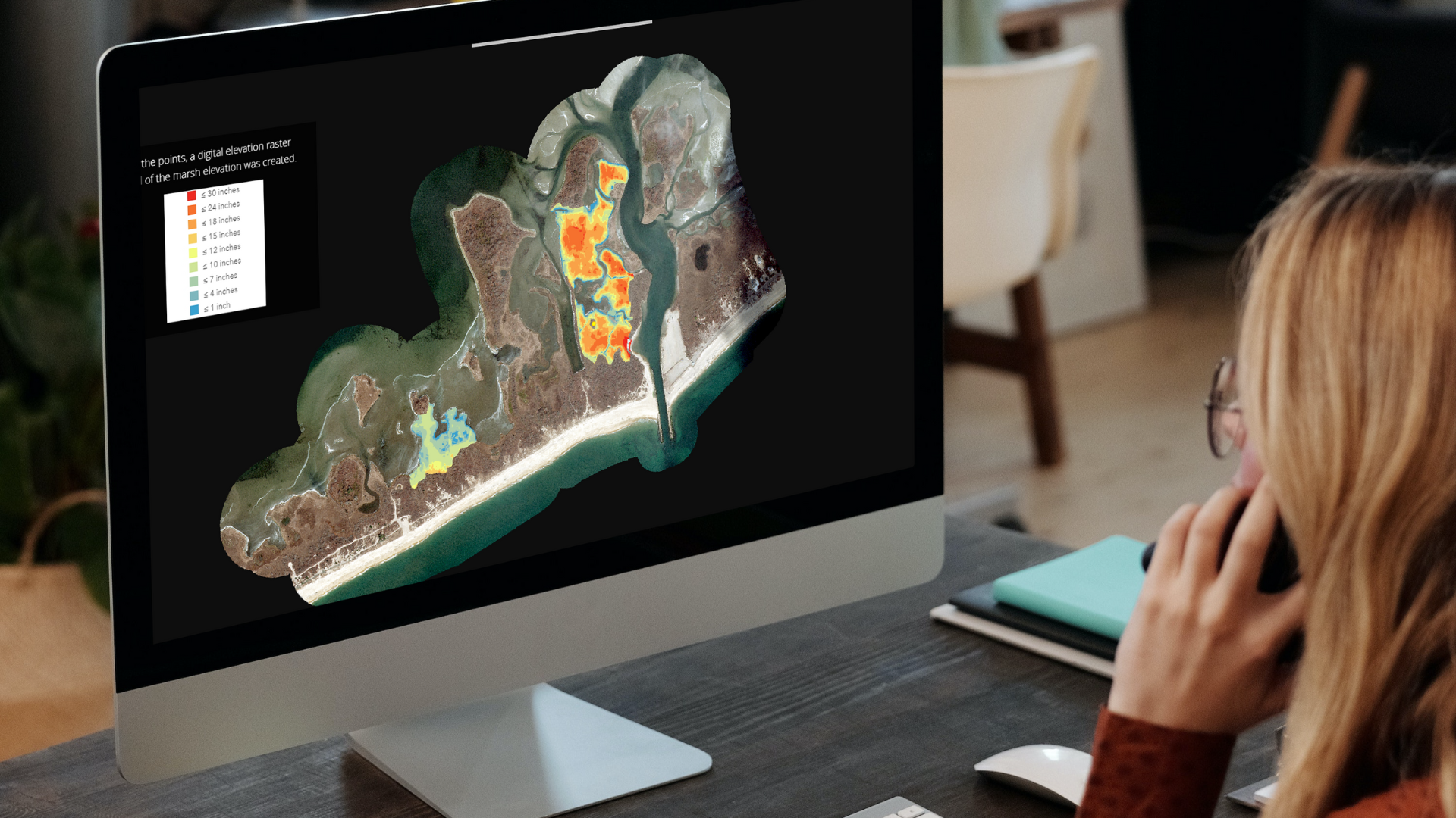
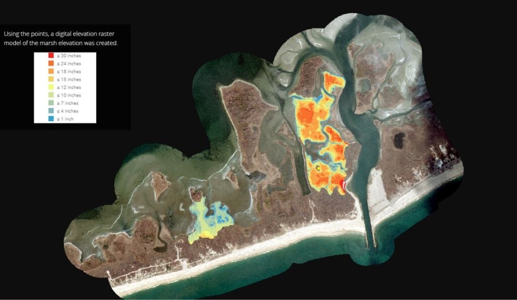
- Create field data production workflows using applications within ESRI’s ArcGIS platform
Building on the long-standing reputation of URI as an international leader in the field of geospatial technology, this program is taught by GIS professionals of the Environmental Data Center, a research lab in the Department of Natural Resource Science.
This 12 credit certificate program provides students with the flexibility to complete the program requirements from anywhere in the world, making it an ideal option for working professionals, military service members, and international students.
Courses
EVS509: Web-Based Mapping
NRS570: Geospatial Data Acquisition and Management
NRS571: Techniques in Geospatial Analysis
NRS572: Advanced Topics in Geospatial Data Visualization
Admissions
- Bachelor’s degree
- College transcripts
- Two letters of recommendation
- Resume/CV
- Statement of purpose
- Interest in program
- Relevant work experience
- Reasons for applying to the online program at URI
- Professional goals, as well as plans for achieving these goals
Request Information
Technology Requirements
ArcGIS Online, used in EVS 509, is accessible through any web browser. ArcGIS Pro, used in NRS 570, 571, and 572, requires installation in a Windows environment. This can be done on a PC, a Mac with Parallels, or by accessing the virtual GIS computer lab, which requires a stable internet connection.

Application Deadline: August 4, 2026
Classes Begin: September 8, 2026


Career Opportunities
Advance your career with URI Online.
Geospatial technologies are prevalent in all economic sectors and are a critical support tool for resource management, planning, emergency management, and community health. Through this online graduate certificate program, students will leverage their data skillset for a variety of positions in the private and public sector, including public agencies, municipalities, engineering firms, and NGOs.

GIS Analyst
Collects, manages, analyzes, and visualizes spatial data to support decision-making processes in fields such as urban planning, transportation, and natural resource management.
Spatial Data Scientist
Applies statistical and machine learning techniques to analyze and model geospatial data, uncovering patterns and trends to inform strategic planning and policy development.

Cartographer
Designs and produces maps, charts, and visualizations using GIS software and geospatial data, ensuring accuracy, clarity, and effectiveness for diverse applications.