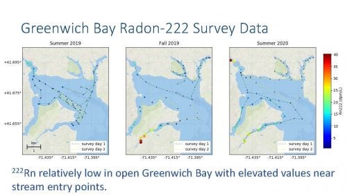
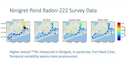
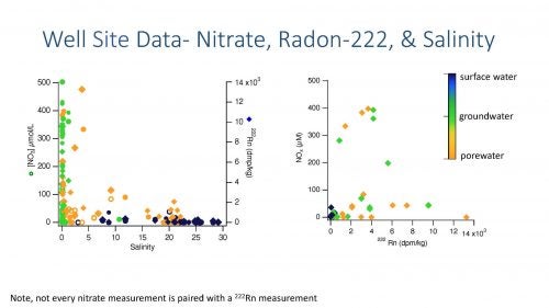
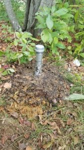
The concentration of radon in coastal waters is a sensitive indicator of groundwater discharge; radon is produced (and lost) from aquifers while it is lost from the water column. Rad7 gives a high spatial resolution of water column radon-222 activities while discrete samples allow us to precisely measure radon activities in wells, porewaters, and surface waters as well as for quantification of Rad7 data.
Electrical resistivity and Ground Penetrating Radar allow us to visualize subsurface properties Preliminary data show a broad spatial distribution of potential SGD sites.
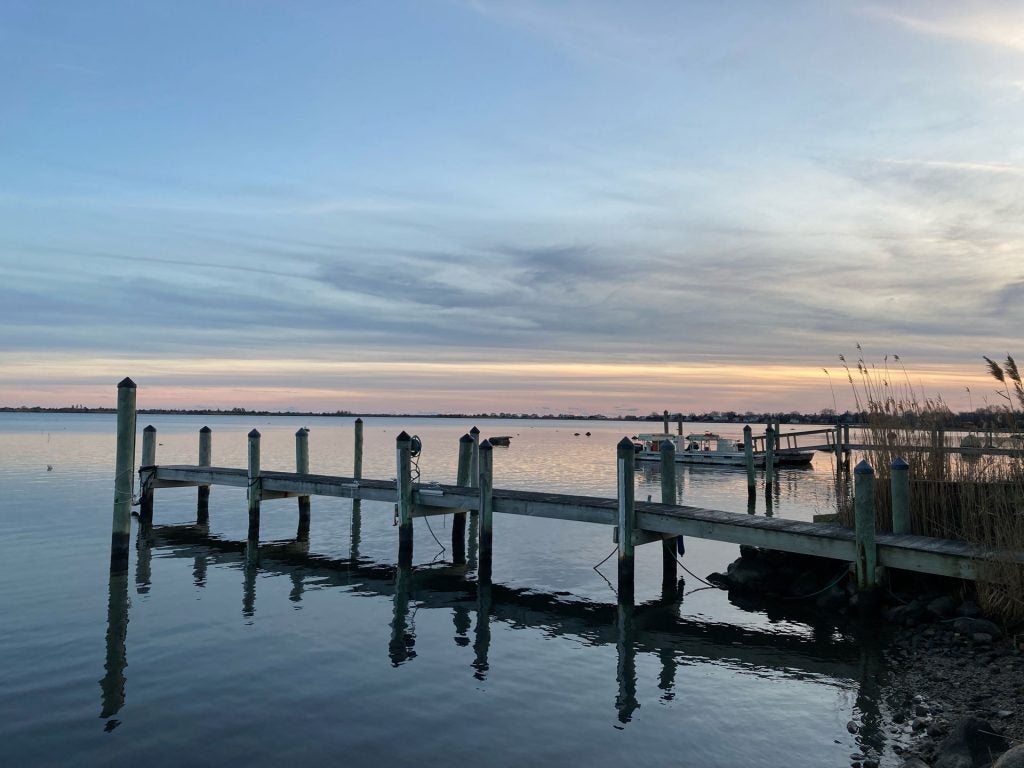
Winter Survey: Brian Caccioppolli captains the boat during an early winter morning departure for the Green Hill Pond survey. Note the thin layer of ice on the pond in the foreground.
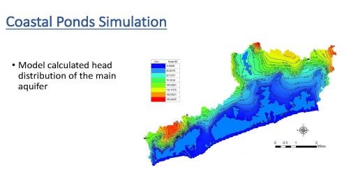
Modeling Results
Modeled Head:
Ninigret Frontal Block watershed model calculated head distribution of the main aquifer.
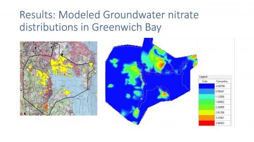
Modeled nitrate:
Modeled groundwater nitrate distributions in Greenwich Bay. Groundwater nitrate is estimated in the model based on an assessment of population and sewer connection densities along the hydrologic flow path.


