Coastal areas around the world are changing in response to storms, sea-level rise and human activities. Research is important to understanding the magnitude and timing of changes as well as determining potential anthropogenic impacts. The COAST Lab (COASTL for short) strives to determine how materials move and accumulate along shorelines and in the sea. Under the direction of J.P. Walsh and in partnership with others, COASTL uses a combination of research methods including geographic information systems (GIS), sediment coring, seafloor mapping, process measurements and laboratory analyses to understand coastal and ocean issues and processes. Studies focus on sedimentary systems, from river mouths to the edge of ocean basins, and from tropical mangroves to high-latitude fjords, and have relevance to biological, chemical, physical and human dynamics. While some projects may only involve a single student examining a local salt marsh, other investigations require many scientists on oceanographic research expeditions.

COASTL Background
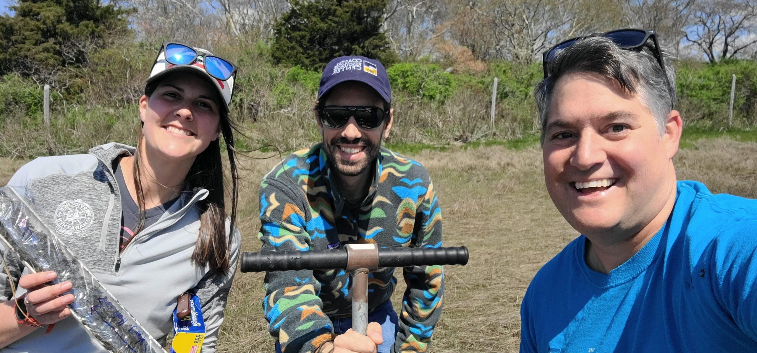
COASTL is led by J.P. Walsh (above on right) who arrived to the Graduate School of Oceanography in 2018. Walsh is a Professor of Oceanography. For over 20 years, Walsh has been working with students, colleagues and other partners to measure and map shoreline and seafloor processes. Research collaborations have spanned the globe, including field efforts in many distant localities such as the Philippines, Papua New Guinea, New Zealand, France and the Caribbean. But some of Walsh’s favorite projects have occurred along the East Coast, to explore and understand near his home.

Interested in working with the COAST Lab?
The lab is always interested in expanding, although funding ultimately determines our ability to grow. If you are potentially interested in studying sedimentary process in the COASTL, please reach out to J.P. Walsh, jpwalsh@uri.edu.
