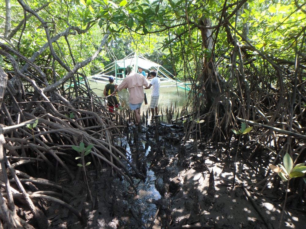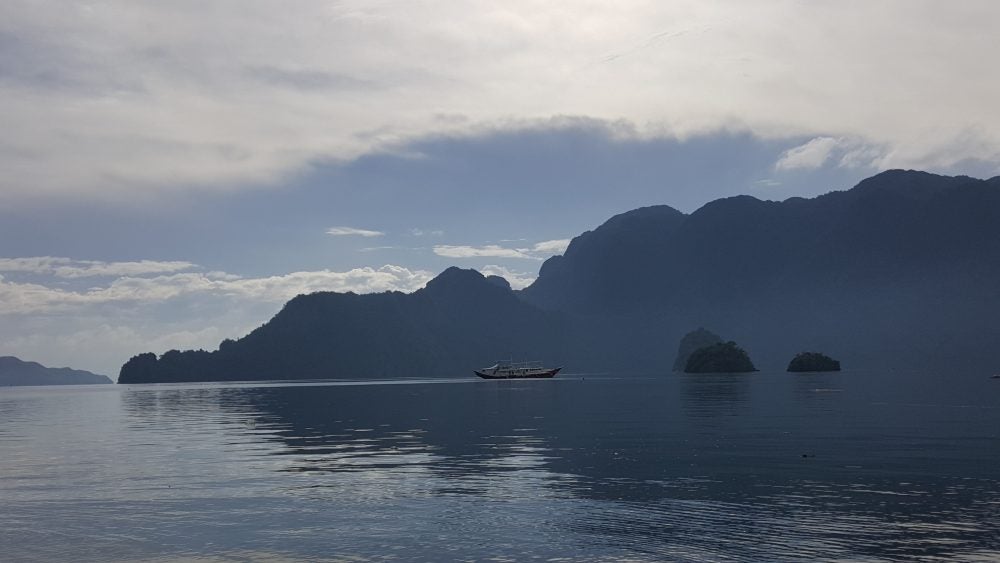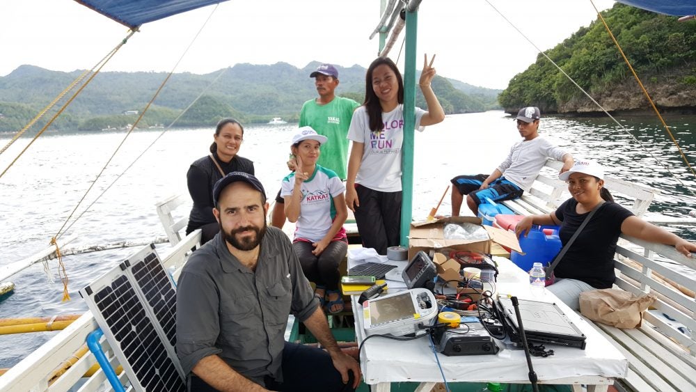
David Lagomasino and J.P. Walsh, in collaboration with Rene Abesamis (Silliman University), Vivien Facunla and others from the USAID Fish Right Program, are working to create a remote sensing approach to map coastal habitat change in the Philippines. Mangroves, seagrasses and coral reefs are critical to ecosystem sustainability, fisheries and tourism. This November, the team collected ground-truth data in three areas – Sipalay (Southern Negros) and Busuanga (Calamianes).