
Survey measurements are taken along the south coast of Rhode Island at seven distinct locations ranging from Misquamicut State Beach in the West to Moonstone Beach in the Trustom Pond National Wildlife Refuge in the East.
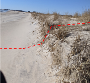
All of the survey locations are located on sandy barrier beaches, bordered by the Block Island Sound to the south and coastal lagoons, referred to as salt ponds in Rhode Island, to the north. Surveys are generally conducted at low tide in order to maximize the amount of measurable beach.
Beach elevation measurements are taken across the width of the beach from the dune to the waterline. Measurements have historically been taken with a transit instrument and stadia rod with respect to a GPS-referenced point.
Real-Time Kinematic (RTK) Global Positioning System (GPS)
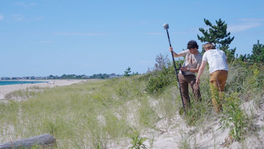
Today, beach surveying is accomplished using a Real-Time Kinematic (RTK) Global Positioning System (GPS) that links to a network of base stations to obtain very accurate location and elevation measurements at a survey point. These individual measurements have an accuracy of a <2 inches in the horizontal and vertical directions. A surveyor measures a series of points across a beach, from the waterline to the landward vegetation, and this transect of points when plotted on a graph determines that beach profile — the shape of the beach at that time. Repeat measurements along the same transect allow changes to be seen and calculated. Also, a beach volume may be determined by quantifying beach cross-shore area for and alongshore distance.
Collected data is then processed to measure how beach erosion and sediment transport dynamics change through time.
What is a RTK GPS?
A Real-Time-Kinematic (RTK) Global Positioning System (GPS) is a high-resolution GPS that connects with a base-station network for corrections. The antennae is collecting time signals from a constellation of satellites while the controller is connecting in real-time to an online network for corrections.