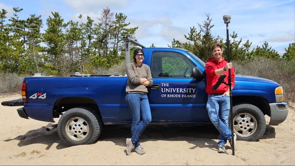
The Beach Survey Program at the University of Rhode Island Graduate School of Oceanography monitors sandy shorelines along the south shore of Rhode Island.
Beach Survey Supervisor

Survey Assistant
Overview
The Beach Survey Program was established at GSO in the early 1960s at a few select sandy barrier beaches to measure and document shoreline change. Measurements have been taken regularly ever since, and the survey dataset is one of the longest of its kind.
Beach elevation measurements are taken monthly in the summer and twice-monthly in the fall, winter, and spring to account for the rapid changes that can occur on beaches due to winter storms like Nor’easters. The modern survey collects data from seven sites: Moonstone Beach, Greenhill Beach, Charlestown Town Beach, two sites at East Beach, Weekapaug Beach, and Misquamicut State Beach.
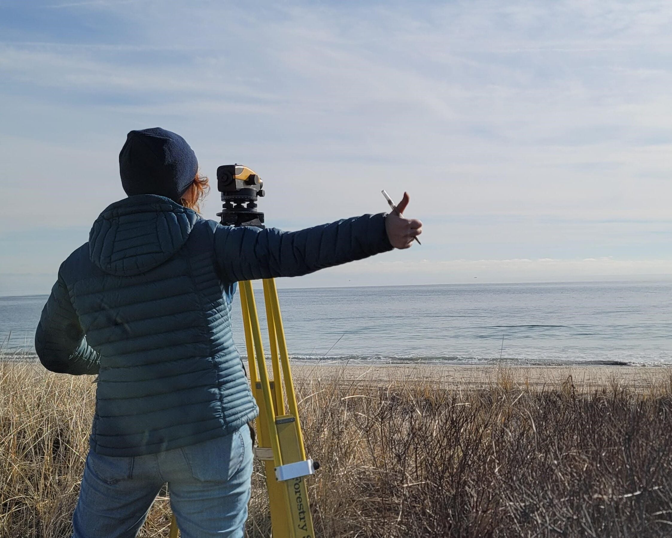
Surveys span the width of the beach from the dune crest to the waterline and have historically been taken with a transit instrument and stadia rod with respect to a GPS-referenced point. Collected data is then processed to measure beach erosion and sediment transport and has been utilized in several graduate student research projects over the years.