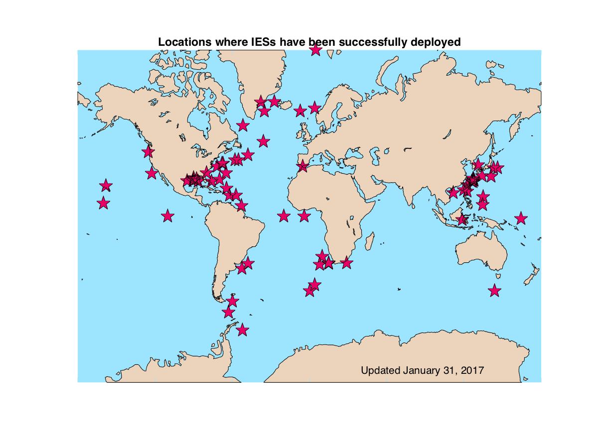
IESs have been used to monitor oceanic fronts since the 1970s after Tom Rossby first introduced the concept of using travel time variations to monitor the depth of the main thermocline. Since then IESs have been successfully deployed around the world by several different investigators to study major oceanic fronts. (Click here for IES Recovery Statistics.)
Our engineering/research group has been directly involved in more than 25 years of development and field experience with IESs. Following are a list of milestones in the development of IESs and interpretation of the measurements.
Milestones
- 1969 Tom Rossby suggested acoustic travel time could be used to monitor thermocline changes (Rossby, 1969)
- 1973 First multi-instrument IES deployment during Mid-Ocean Dynamics Experiment (MODE I) (Watts and Rossby, 1977)
- travel time used to monitor thermocline depth changes
- Sea Data cassette recorder with capacity of 10 million bits
- battery life – 2months
- 10kHz acoustic travel time
- mid-1970s IES packaged in single glass sphere (Bitterman and Watts, 1979)
- late 1970s Instrument redesigned with new analog echo detector (Chaplin and Watts, 1984)
- optional additional measurements: hydrostatic pressure, temperature, and ambient noise
- incorporated Paroscientific Digiquartz pressure sensor, YSI thermistor, and Sea Data electronic cards
- deployment time: 18 months
- 1981 First PIES deployment off Bermuda (Watts and Wimbush, 1981)
- bottom pressure measurements from two instruments
- mid-1980s Optimal interpolation applied to &tau measurements from IES array to map the Gulf Stream path (Watts et al., 2001)
- 1988-1990 First multi-instrument PIES deployment capable of mapping the bottom pressure field
- 1989 First real-time data acquisition by acoustic telemetry (Chaplin, 1990)
- from IES near Cape Hatteras to Bermuda
- transmission via SOFAR (260 Hz) signals
- 1990s First IES with solid state recorder developed by Pacer Systems Inc.
- up to 12 Mbyte RAM with battery backup
- travel time used to estimate full water column profiles of temperature, salinity and density using historical hydrography (Meinen and Watts, 2000; Watts et al., 2001)
- 1998-1999 IES Model 6 developed
- type ATA compact flash card with 32 Mbyte capacity
- 12 kHz acoustic travel time
- deployment time: 2-5 years
- 2002-2004 First multi-instrument CPIES deployment in East China Sea
- incorporated Aanderaa acoustic Doppler current sensor
- 2003 Telemetry added to IES Model 6
- 2004 First data recovery via acoustic telemetry in Gulf of Mexico
- pulse delay transmission from sea floor to ship
- 2009 New technique for dedrifting and leveling IES pressure records documented
Specialized IESs
- 2005 Rapid-PIES deployed in South China Sea (D. Farmer)
- modified for rapid sampling
- large data storage
- includes pressure measurement
- 2005 Modem-PIES developed (Uwe Send)
- works with Benthos acoustic modem
- 2006 HPIES developed (D. Luther and T. Sanford)
- combines a PIES with a Horizontal Electrometer, HEM, to measure currents
- 2007 Pop-up IES (O. Boebel)
- acoustic telemetry via iridium phone to satellites and pop-up technology
- 2012 Popeye Data Module (GSO/URI)
- Narragansett Bay Test with PIES and glass tube Popeye Data Module
- 2014 Popeye Data Shuttle – PDS (GSO/URI)
- Deployment from R/V Gould in Drake Passage to verify Iridium communications.
- 2016 PDS Bermuda Test (GSO/URI)
- Deployment of 2 CPIES and 3 PDS off Bermuda
- 2017 Fast PIES developed (Tom Peacock)
- 96 pings per hour in 6 bursts of 16 pings
References
-
- Bitterman, D.S., Jr., and D.R. Watts, 1979, The inverted echo sounder. IEEE Oceans ’79 Conf. Rec., 302-306. PDF, (doi:10.1109/OCEANS.1979.1151276)
- Chaplin, G.F., 1990, Acoustic telemetry system for real-time monitoring of the Gulf Stream path. IEEE Oceans ’90 Conference Proceedings, 46-51. PDF, (doi:10.1109/OCEANS.1990.584704)
- Chaplin, G.F., and D.R. Wattts, 1984, Inverted echo sounder development. IEEE Oceans ’84 Conf. Rec., 1, 249-253, Int. of Electr. and Electr. Eng., New York. PDF, (doi:10.1109/OCEANS.1984.1152347)
- Donohue, K.A., D.R. Watts, K.L. Tracey, A.D. Greene, and M. Kennelly, 2010, Mapping circulation in the Kuroshio Extension with an array of Current and Pressure recording Inverted Echo Sounders. J. Atmos. Oceanic Technol., 27, 507-527. (doi:10.1175/2009JTECHO686.1)
- Meinen, C.S., and D.R. Watts, 2000, Vertical structure and transport on a transect across the North Atlantic Current near 42 N: Time series and mean, J. Geophys. Res., 105, 21,869-21,892. (doi:10.1029/2000JC900097)
- Rossby, T., 1969, On monitoring depth variations of the main thermocline acoustically. J. Geophys. Res., 74, 5542-5546. (doi:10.1029/JC074i023p05542)
- Watts, D. R. and H. T. Rossby, 1977, Measuring dynamic heights with inverted echo sounders: Results from MODE, J. Phys. Oceanogr., 7, 345-358. (doi:10.1175/1520-0485(1977)007%3C0345:MDHWIE%3E2.0.CO;2)
- Watts, D.R. and M. Wimbush, 1981, Sea surface height and thermocline depth variations measured from the sea floor. International Symposium on Acoustic Remote Sensing of the Atmosphere and Oceans, Proceedings, III, 33-47. Calgary.
- Watts, D.R., X. Qian, and K. L. Tracey, 2001, Mapping abyssal current and pressure fields under the meandering Gulf Stream. J. Atmos. Oceanic Technol., 18, 1052-1067. (doi:10.1175/1520-0426(2001)018%3C1052:MACAPF%3E2.0.CO;2)
- Watts, D.R., C. Sun, and S. Rintoul, 2001, A two-dimensional gravest empirical mode determined from hydrographic observations in the Subantarctic Front. J. Phys. Oceanogr., 31, 2186-2209. (doi:10.1175/1520-0485(2001)031%3C2186:ATDGEM%3E2.0.CO;2)