Home
Home Browse
 Close
Close Events
 Maps
Maps Email
Email Brightspace
 eCampus

Land-use and Land-cover Change Studies
-
Changes in land use and land cover are the most significant forms of change because of the irreversible effects they have on the environment. The forces primarily responsible for transforming land arise from a combination of natural and anthropogenic factors. Anthropogenic factors are considered to be more disturbing; between one-third to one-half of the present land has been transformed by human actions (Vituoseck,1992).
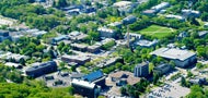
Recently, more attention is being given to urbanization and suburban sprawl because residential and commercial areas are expanding rapidly and growth rates show no sign of slowing as human populations grow in size, affluence, and technological capacity (Imhoff, 2000; Wang, 2000). Numerous regional studies have indicated that temperate zones have become the most highly altered and fragmented regions of the world (Franklin, 1988). The landscape of New England, for instance, has undergone major periods of transformation since settlement (Vogelman, 1995).
 History of Rhode Island’s Landscape
Rhode Island has experienced three distinct periods of development. From the 1600s to the mid-1800s, the land was cleared of forests to create small farms and villages. In 1800, 80% of the population was living in rural areas. The Industrial Revolution of the late nineteenth century changed all this, however. People moved to the cities, the abandoned farms became reforested, and in seeming contradiction, the state became both more urban and more forested. By 1850, 80% of the population was living in cities. In the 1930s, the population began to migrate away
 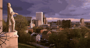 from the cities, creating an entirely new landscape featuring suburbs. This movement accelerated between 1970 and 1995, when built-up land increased by 47%, with two units of housing for every new addition to the population (Rhode Island Statewide Planning, Technical paper 147, 2000). Today, 95% of the state is zoned for development and 42% of the population is living in suburban or “emerging suburban” areas (Rhode Island Statewide Planning, Technical paper 149, 2000).
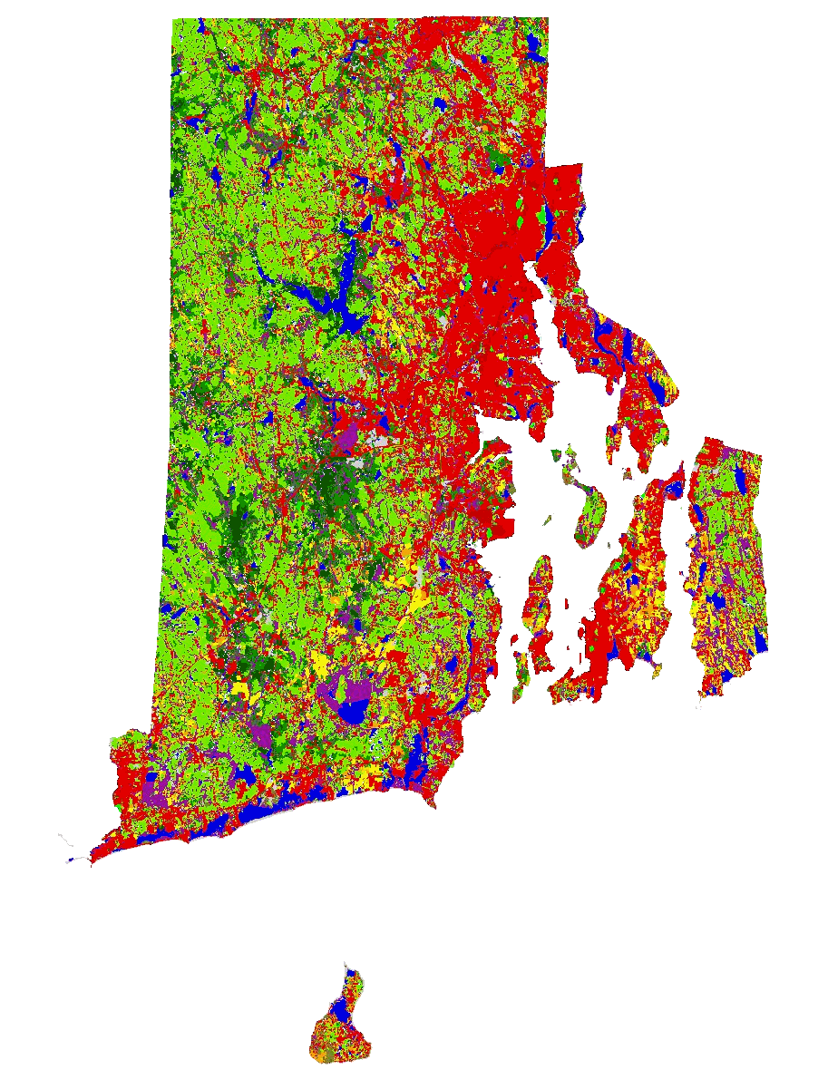
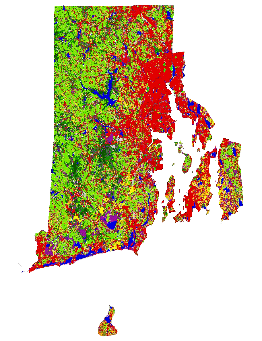
Land-Use vs. Land-Cover Maps
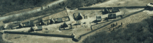
Land-use map shows the activity on the ground and usually places emphasis on the functional role of land in economic activities. A land-cover map, on the other hand, designates the visible evidence of land use and includes both vegetative and non-vegetative featuresLand-Use Map
Land-Cover Map 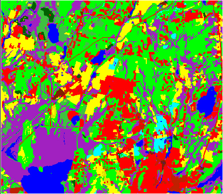
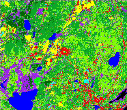
Produced by Airphoto Interpretation
Produced by Classification
(shows small-scale variation)
Objective
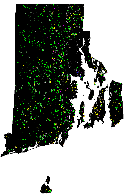
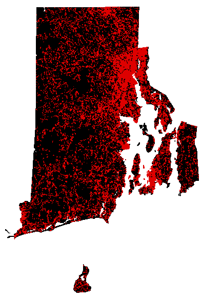
The primary focus of this research is to better understand the patterns of changes in land use and land cover and the responses of ecosystems to these disturbances at the statewide level. More specifically, this research will focus on documenting land-use and land-cover changes resulting from urbanization in the state of Rhode Island from 1972 to 2002, as well as determining how the conversion of land to urban use has affected the states forest ecosystems. This will be accomplished by: (1) using remote sensing and GIS to document changes in land use and land cover in Rhode Island between 1972 and 2002; (2) identifying socioeconomic factors correlated with changes in land use and land cover in Rhode Island; (3) and quantifying and identifying landscape characteristics using landscape indices.